blue turtle crossing

3 Months in Baja: Bahía de los Ángeles to Guerrero Negro

This is the story of all Amy’s dreams coming true.

Ok—again, not all of them, and not just mine either. A whole literal boatful of people’s dreams came true in this portion of the trip! But I’m getting ahead of myself.

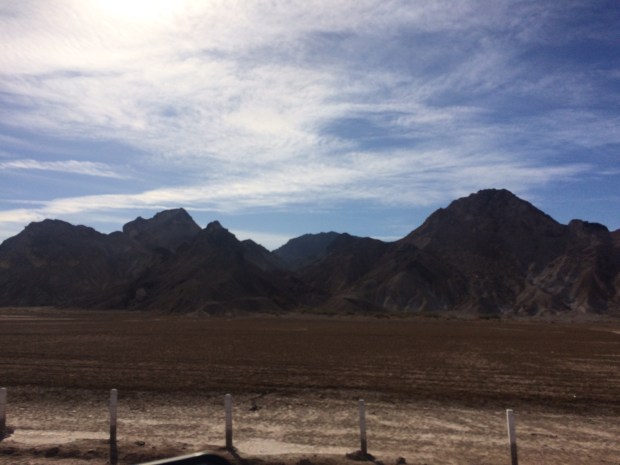
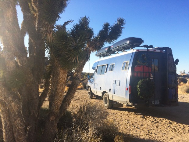
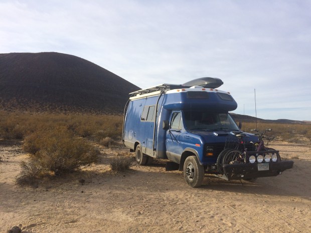
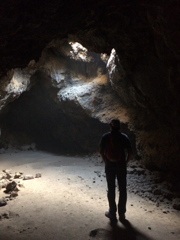
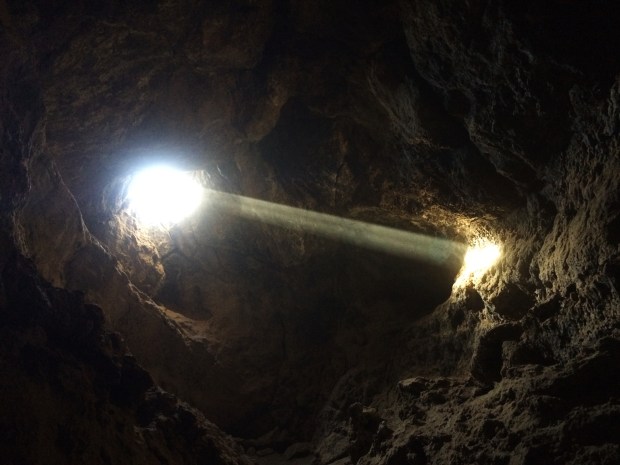
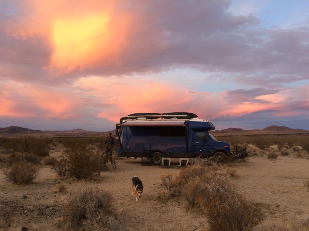
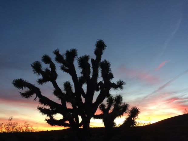
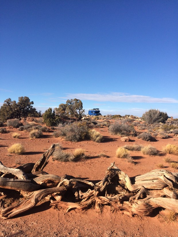
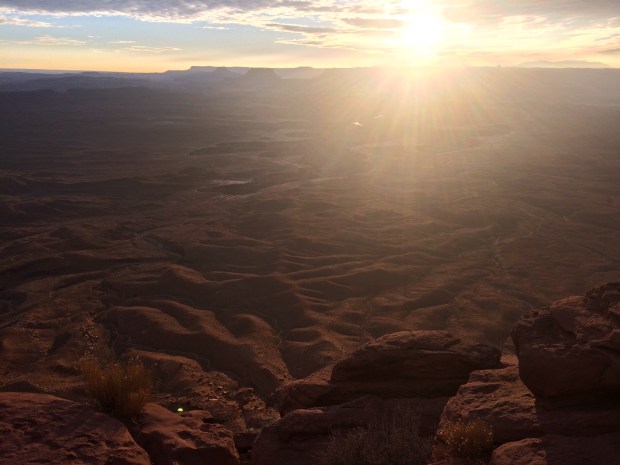
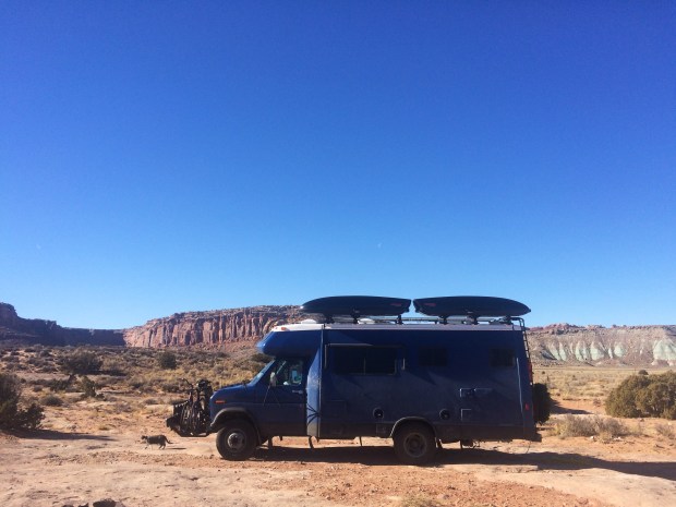
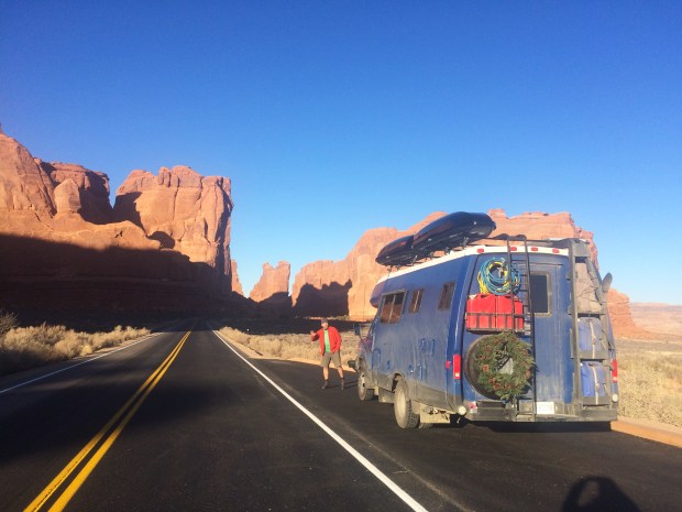
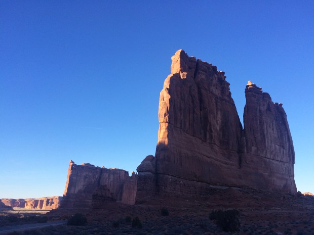
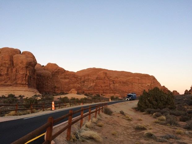
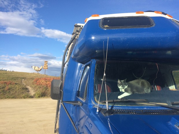
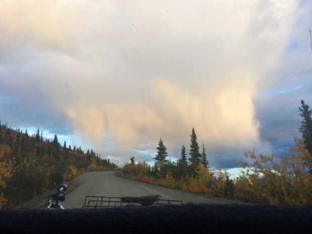
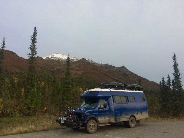
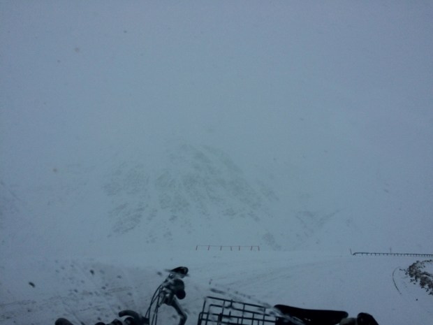
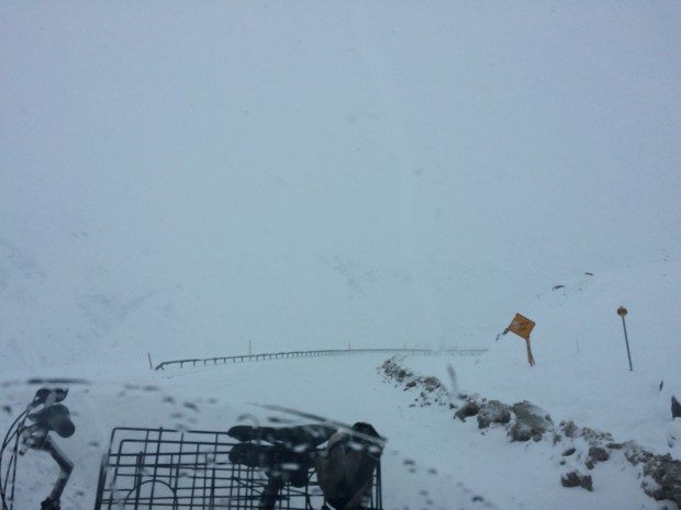
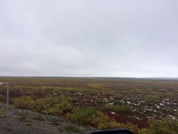
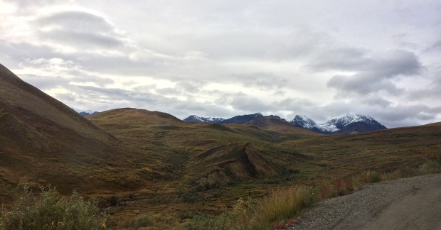
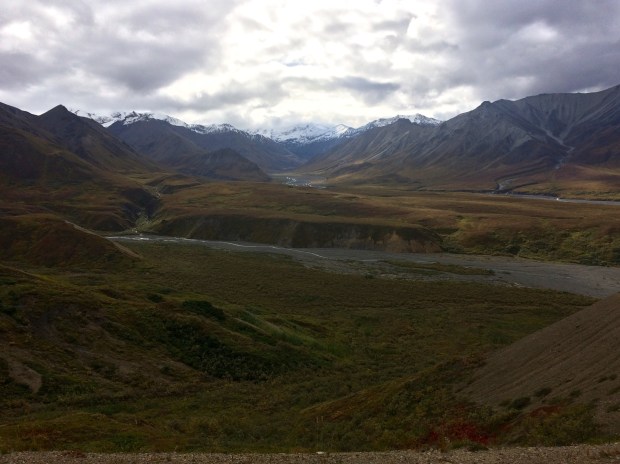
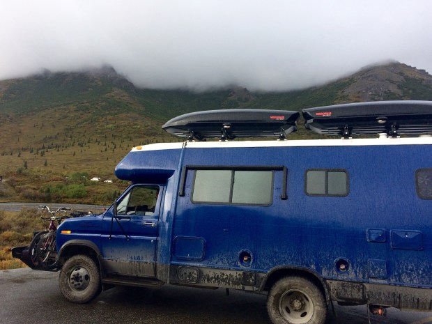
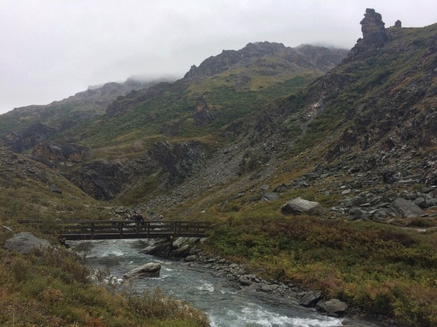
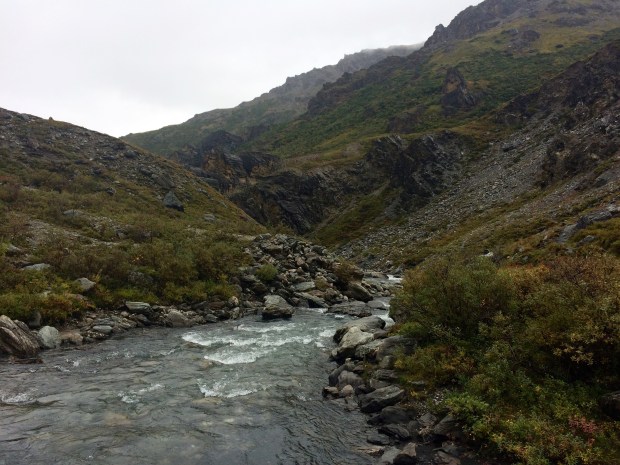
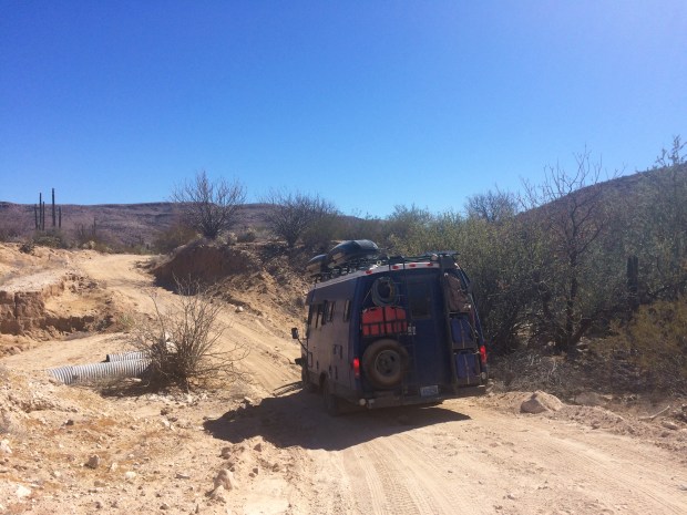
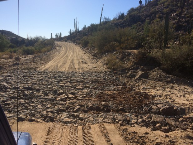
We left Bahía de los Ángeles via the long, bumpy dirt road that for a long portion of the drive follows the route that the Baja 1000 drivers take. We had full-blown off-road-racing fever, so it seemed like a great idea the moment we had it.

IMG_9287

Screen Shot 2018-06-11 at 11.58.49 AM

IMG_9279

We had conquered the jarring Mex 5 and felt confident about our ability to manage this stretch of road. Our friends from Bahía had assured us that it wasn’t too much worse than the Mex 5, and as long as we were fully supplied we should be fine. The only difference between the two drives was the amount of road between towns.

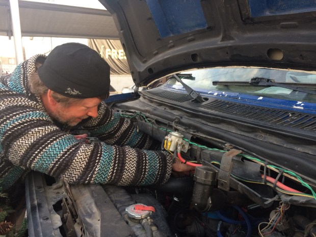
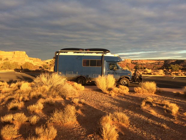
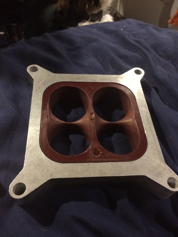
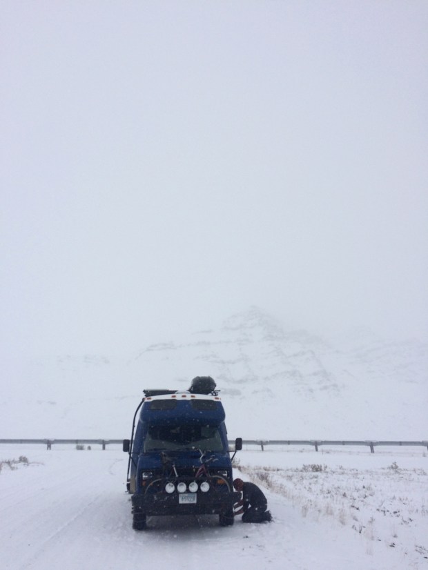
So in order to continue having stories to tell, the Turtle decided to wait until we were just far enough away from Bahía that going back wasn’t an option, and that’s when it began leaking fuel. I had been smelling gas for a while, but it was just faint enough that we thought it could be burn-off or something non-troubling. But soon the smell was overwhelming and it was necessary to stop and have a look.

IMG_9270

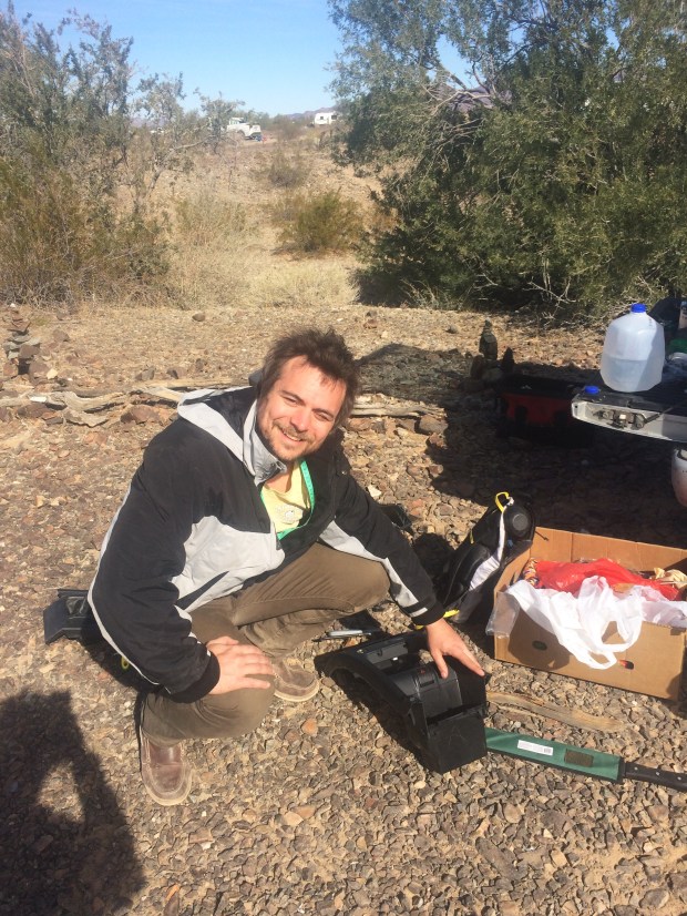
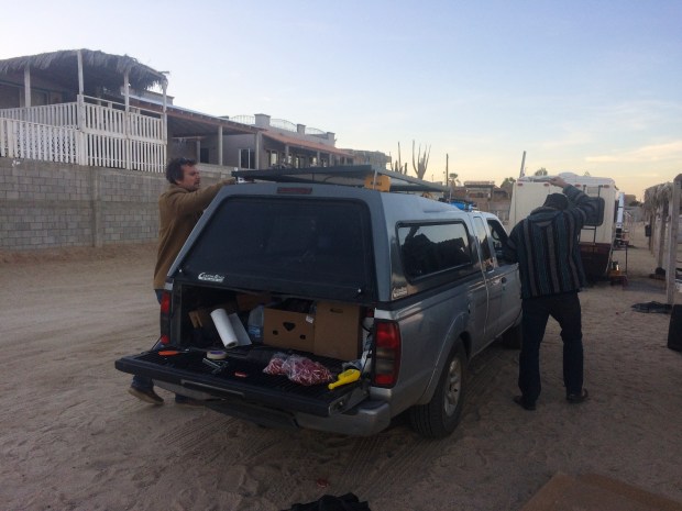
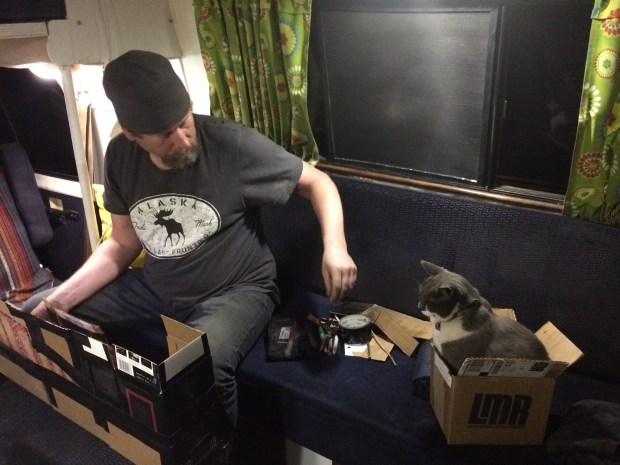
After a few minutes diagnosing the problem, Andy began unloading his tools.

IMG_9289 1

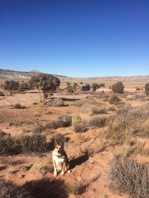
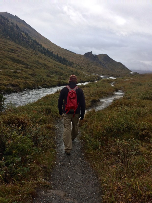
From underneath the Turtle Andy explained to me that the fuel pump was leaking, squirting fuel out all over the undercarriage. We had a long distance to go until the next gas station, so losing any amount of fuel was a problem. He continued poking around while I took the pets out for a walk along the Bahia 1000 track.

IMG_9290

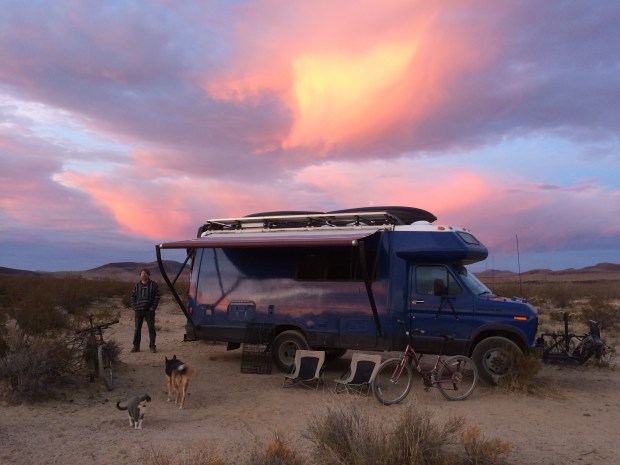
When we came back to check on him, I noticed Andy had been digging around his storage space under the bench seats inside. I asked him how everything was going, and he asked me if I remembered what we’d purchased at the Auto Zone a week ago in San Felipe. Because we’d looked up and memorized the words “bomba de combustible” especially for that visit to Auto Zone, I also of course remembered what they meant.

Fuel pump! Andy had just bought a spare. He’s a real wizard, that one.

IMG_9293

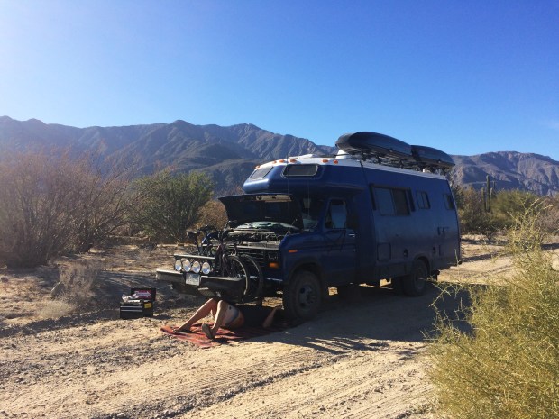
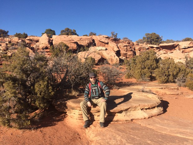
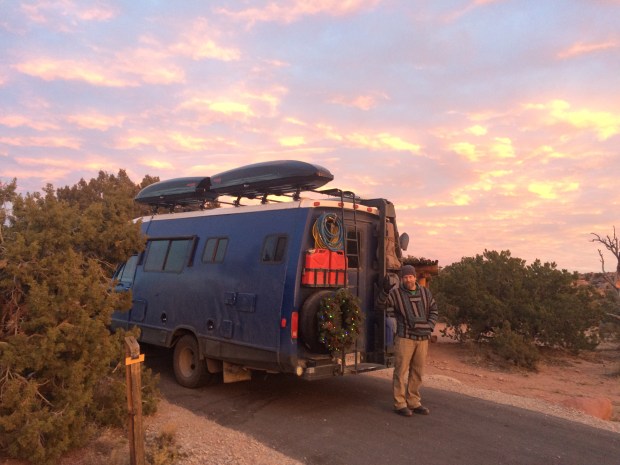
So despite the fact that we would have been in a real jam out there in the desert alone on a dirt track nobody uses, in about an hour we were back on the road! I love how he’s able to turn disaster into mere inconvenience with a wave of his wrench. I never take for granted Andy’s mechanic skills and his Eagle Scout level of preparedness. We’re able to take risks and see portions of the world that few others get to see because we’re not as worried about being totally stranded (see: Dalton Highway). He’s the best!

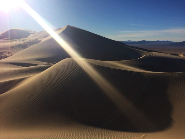
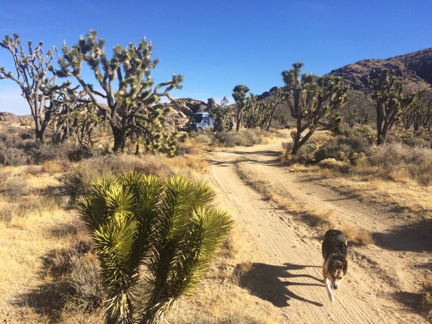
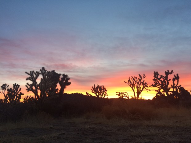
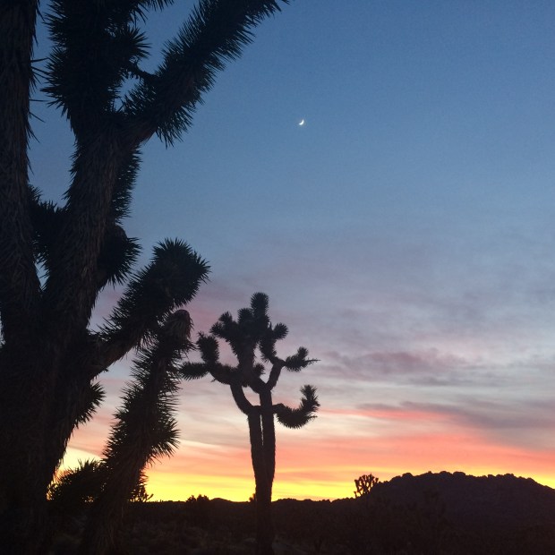
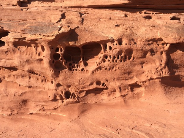
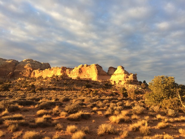
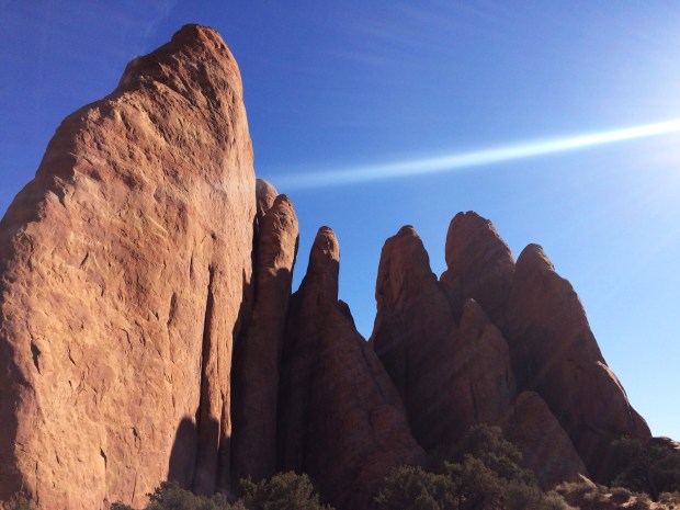
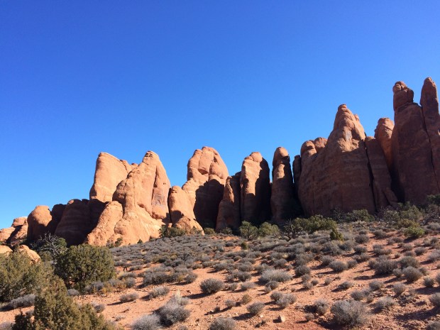
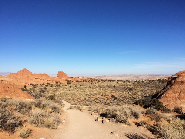
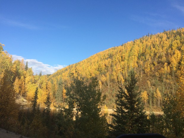
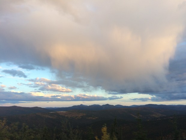
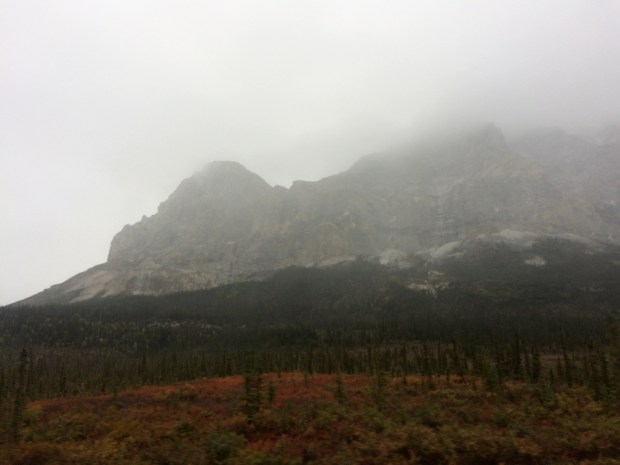
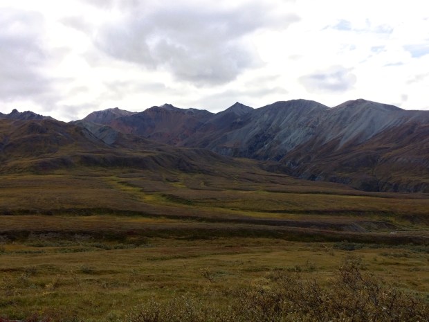
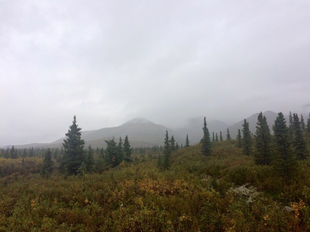
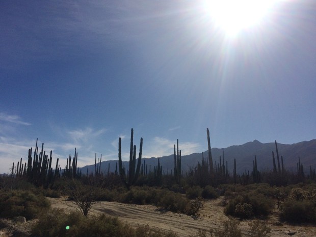
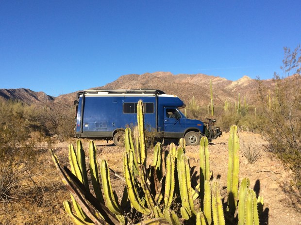
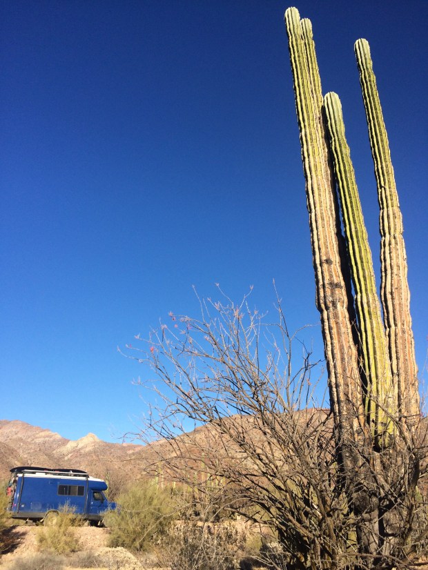
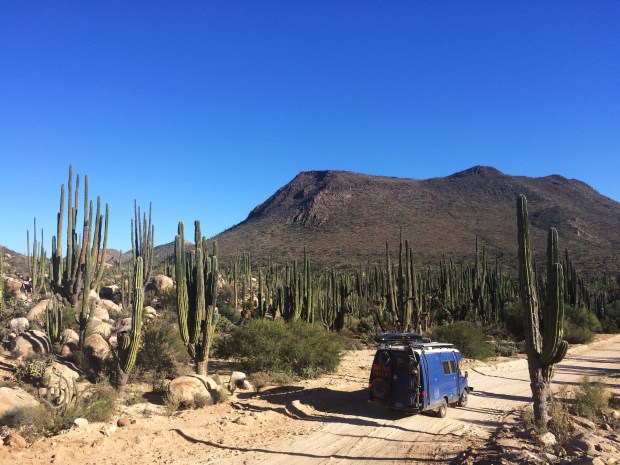
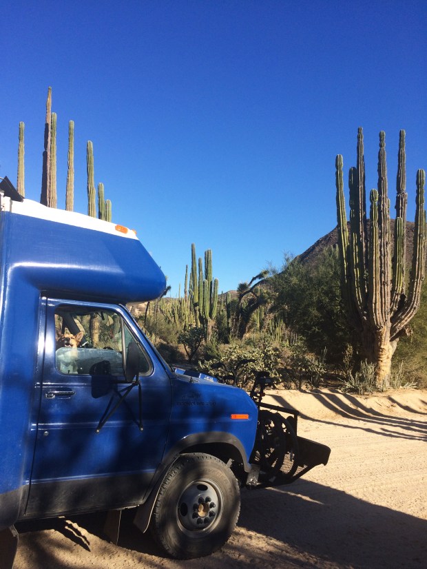
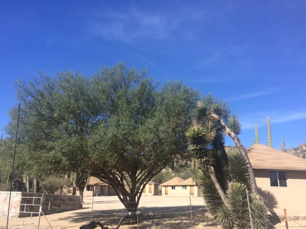
We continued on, driving through stunning desert landscapes, surrounded by cacti of all shapes and sizes.

IMG_9305

IMG_9311

IMG_9320

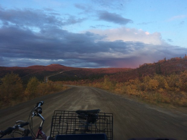
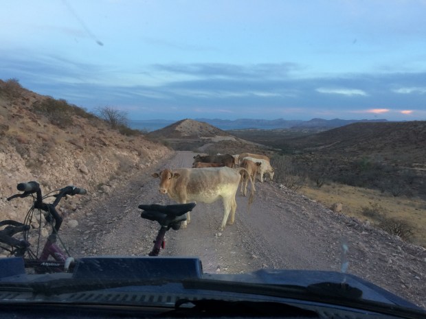
Our unplanned stop to replace the bomba de combustible meant we were in a race against the sun to reach our boondocking site before dark. As we wound around the curves leading up to San Rafael, we were slowed down further by this hilarious herd of cows who were apparently doing a slapstick bit for our enjoyment and exasperation. They could easily have exited the road on either side, but trotted ahead of us for about a mile, weaving back and forth and giving us annoyed looks over their shoulders as they went. And stopped. And then went again.

IMG_9327

IMG_9330 1.JPG

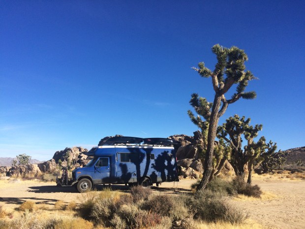
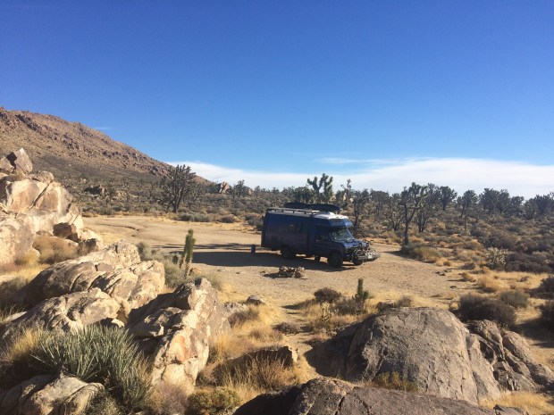
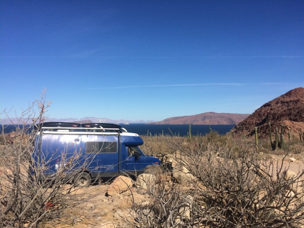
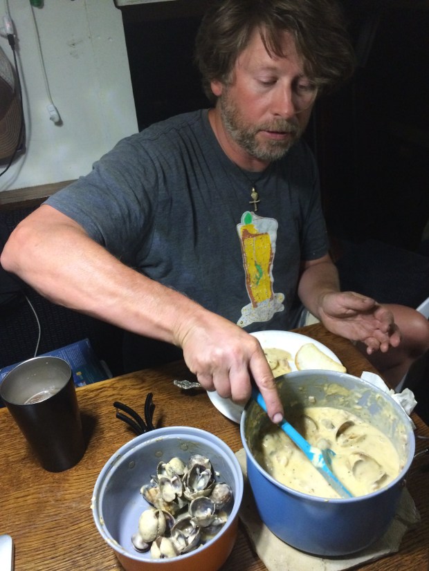
We made it to our site just as darkness swallowed up the roads, and went in to fix up some fancy clams we’d brought with us from the beach of La Gringa.

IMG_9338.JPG

IMG_9350.JPG

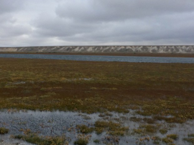
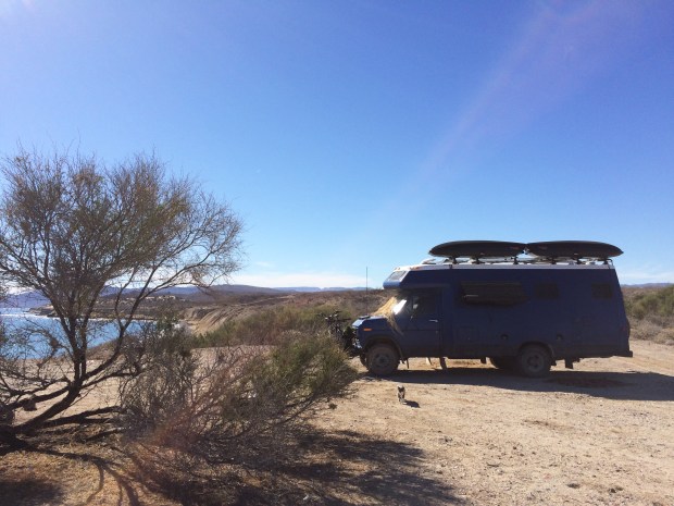
Since we almost never drive at night we were curious to see what our new front yard would look like in the morning.

IMG_9421.JPG

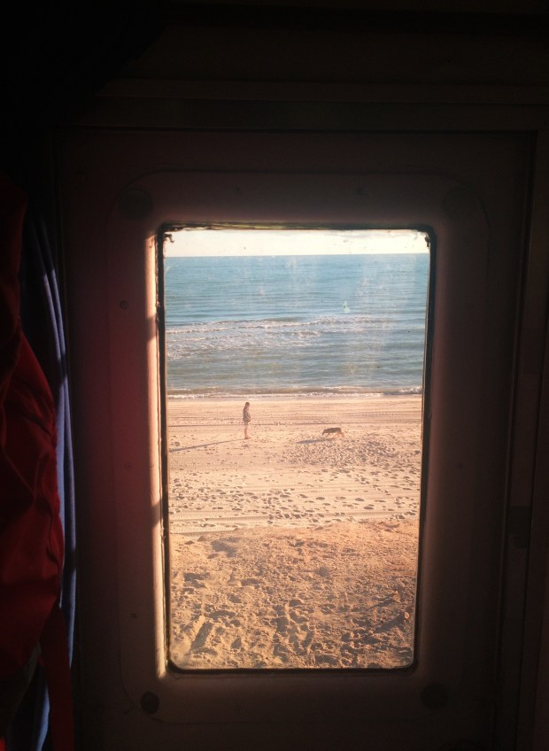
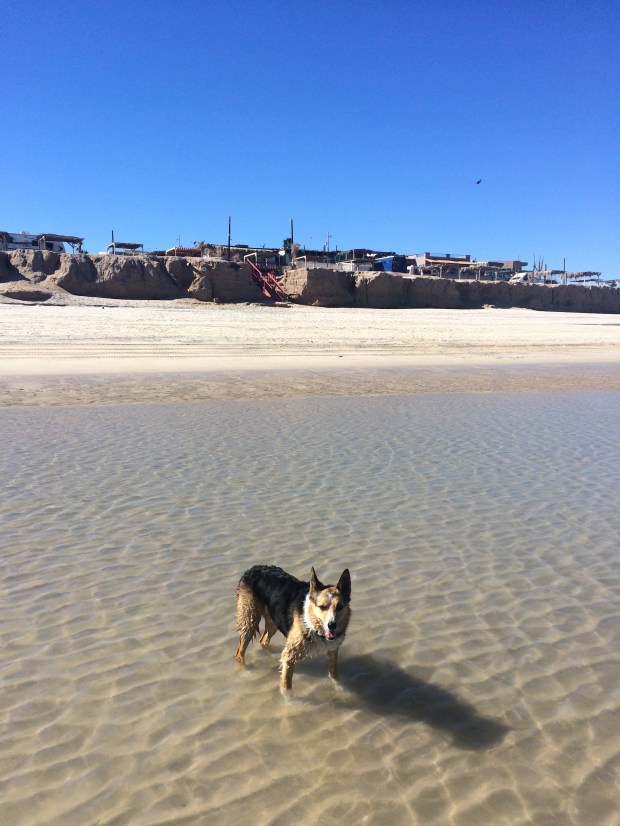
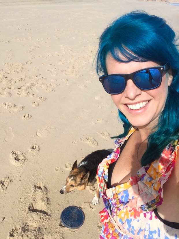
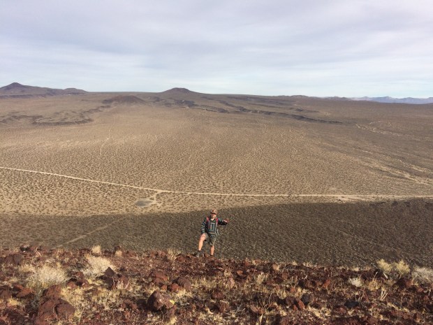
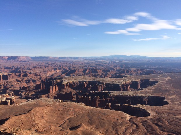
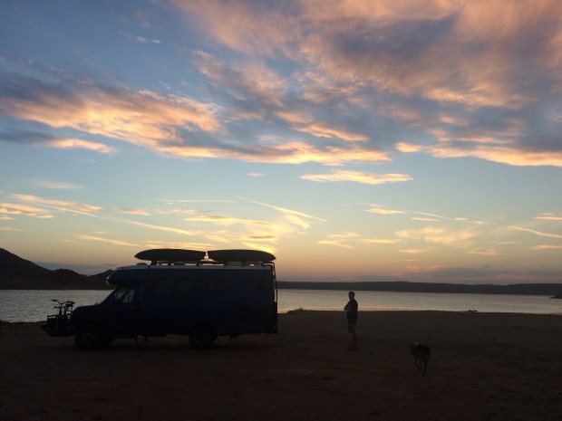
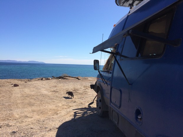
It was awesome! We were the only humans as far as the eye could see, on a low bluff overlooking our private beach.

IMG_9357.JPG

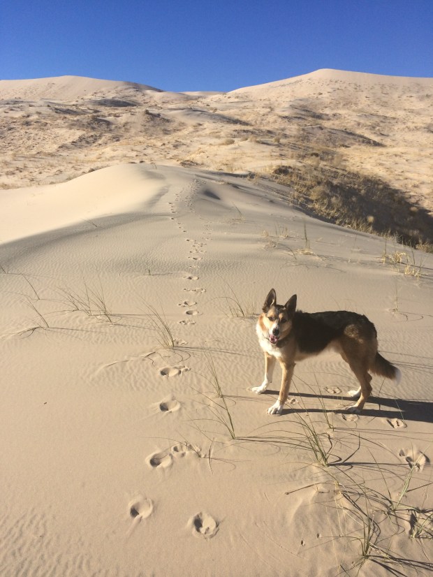
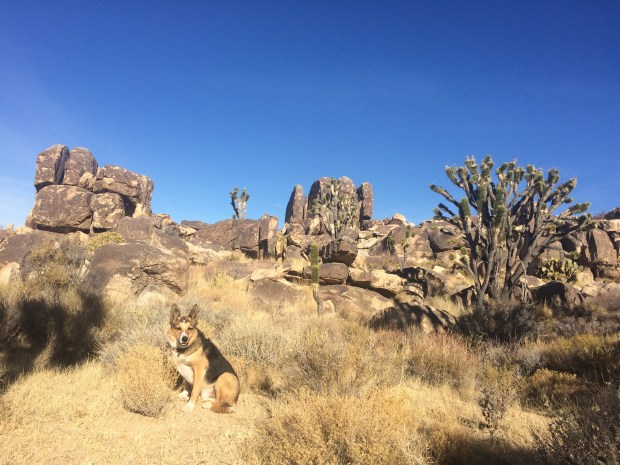
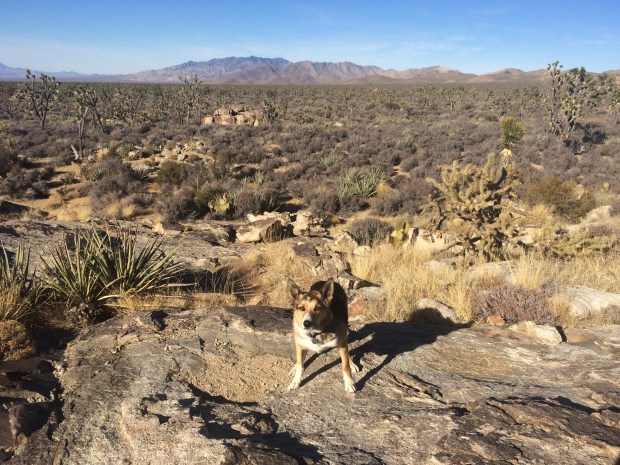
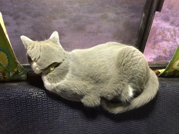
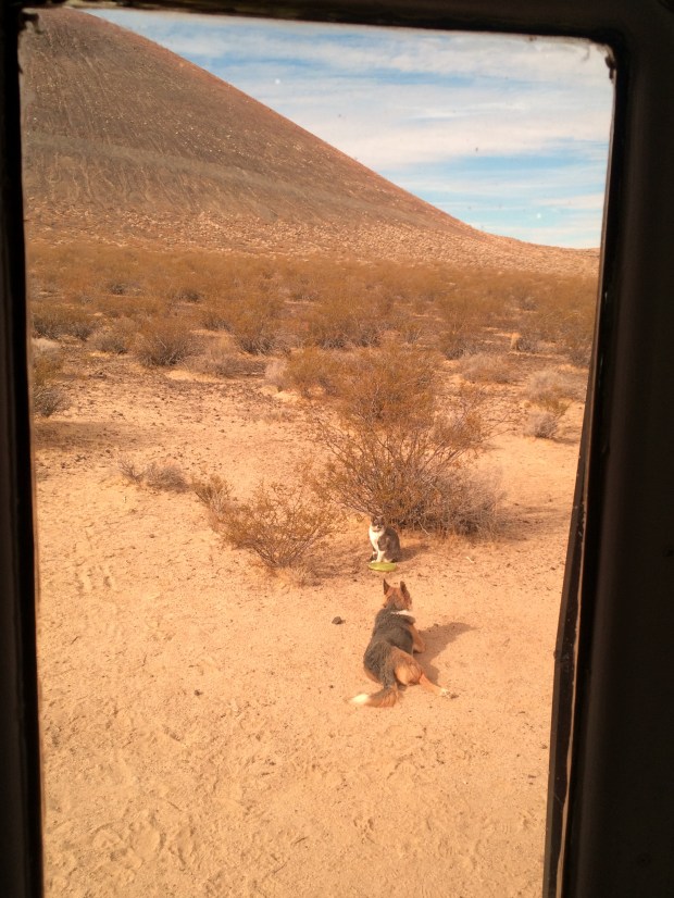
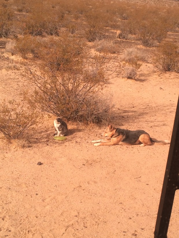
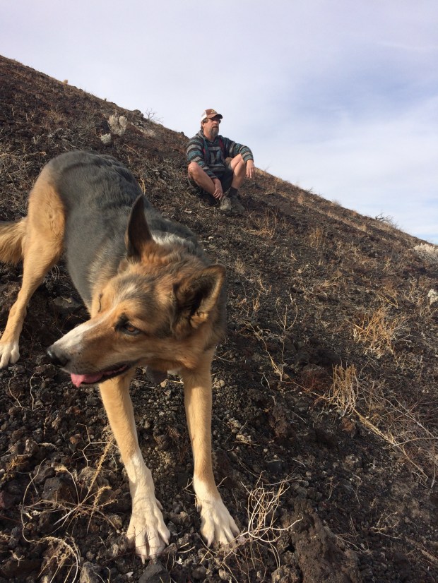
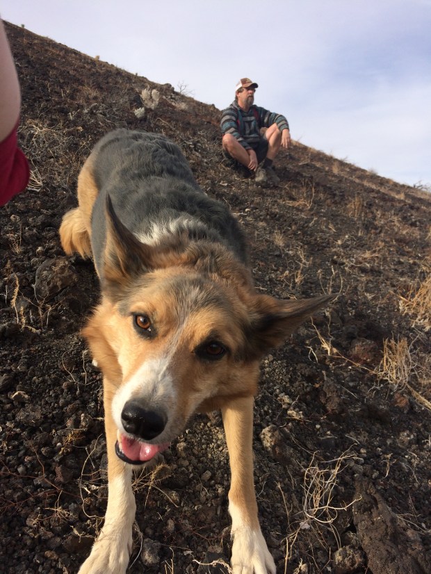
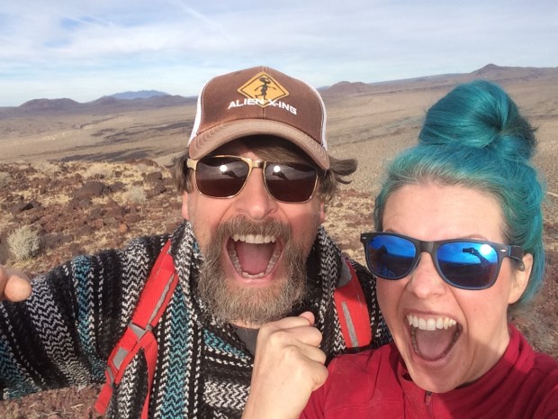
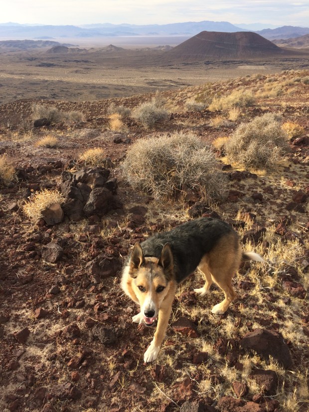
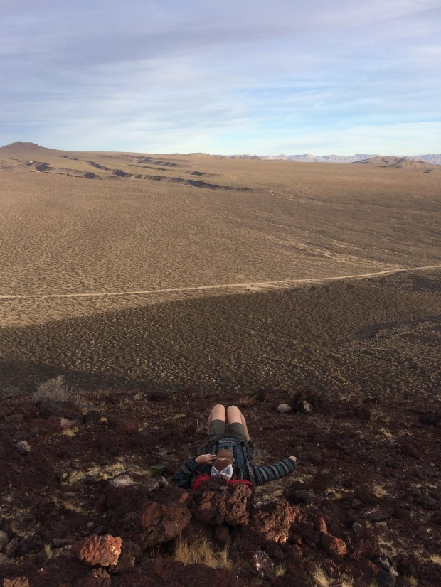
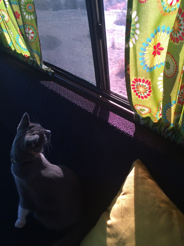
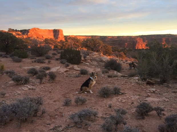
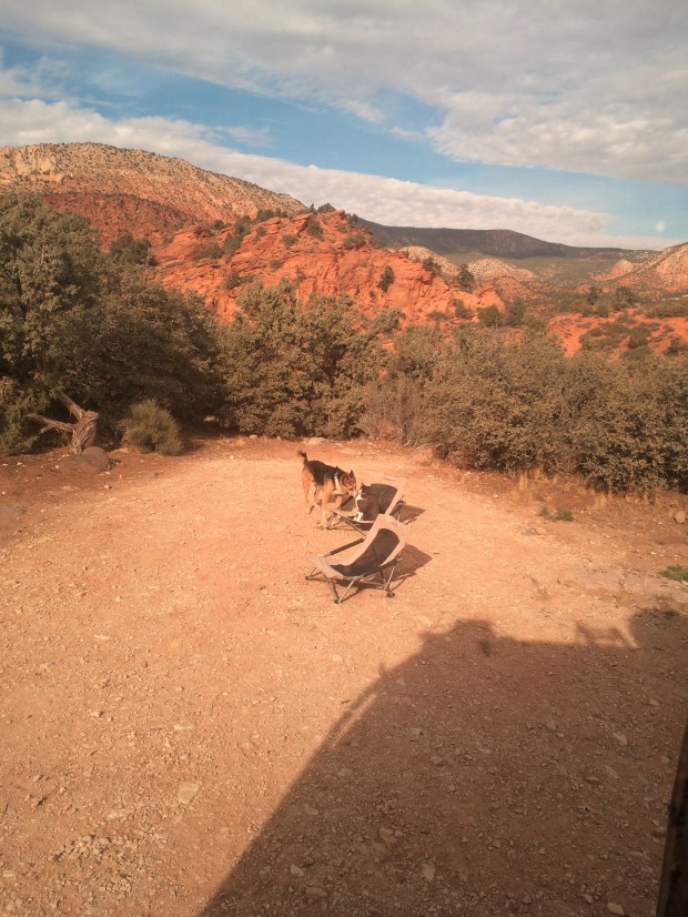
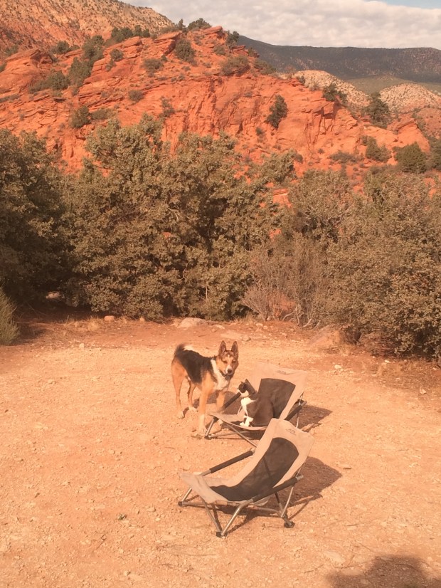
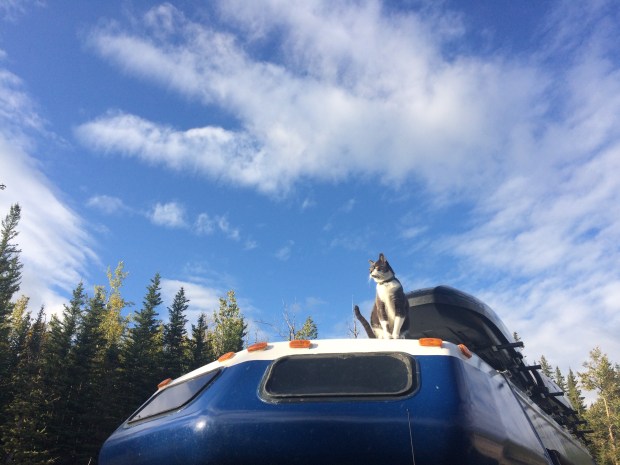
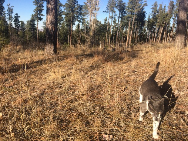
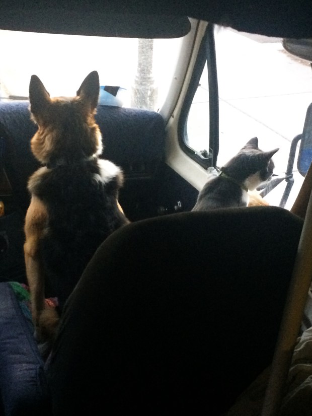
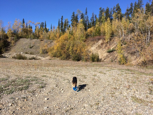
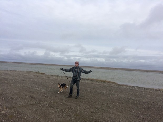
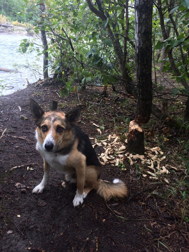
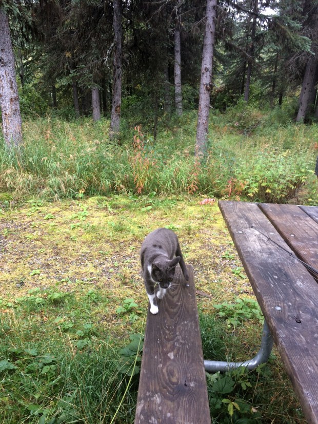
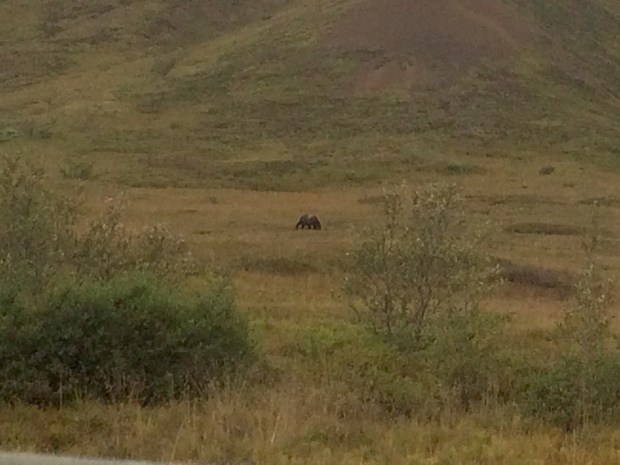
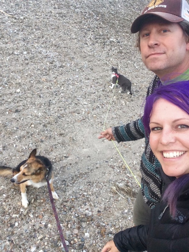
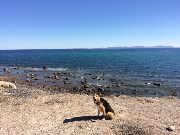
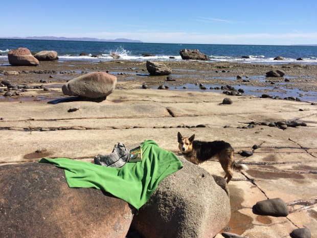
The animals were safe to roam freely, so while they did I happily took lots of photos of them. The beach looks really good on these two.

IMG_9351

IMG_9362

IMG_9363

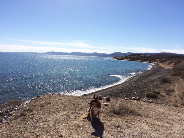
I took Scout down to the beac to play in the surf and read for a while. He just kept digging his face in my bag for the frisbee so I didn’t get much reading done, but when you’re on a private beach there’s really no wrong way to spend the day.

IMG_9394

IMG_9435

IMG_9444

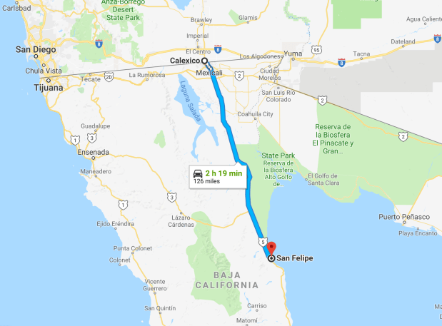
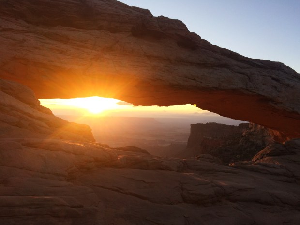
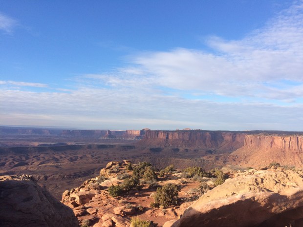
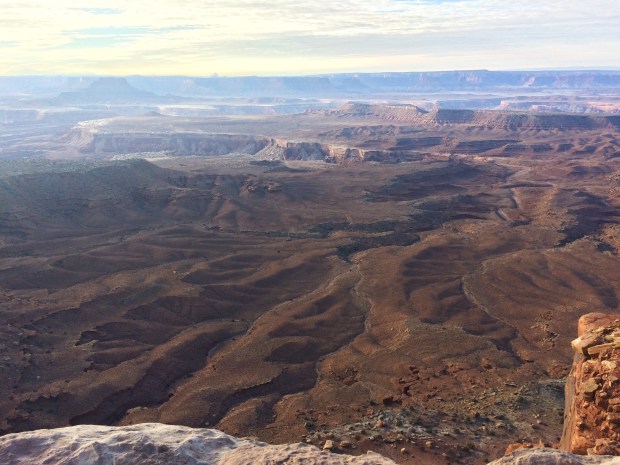
We stayed a few days before getting back on the bumpy road that would reconnect us with the Mex 1. Where it connects, we’d originally planned on heading south and visiting Guerrero Negro in a month or two on our way back up north, but as we drove and I read about the whale watching season, we thought we’d go right away in order to hit peak whale season.

Screen Shot 2018-06-19 at 3.33.29 PM.png

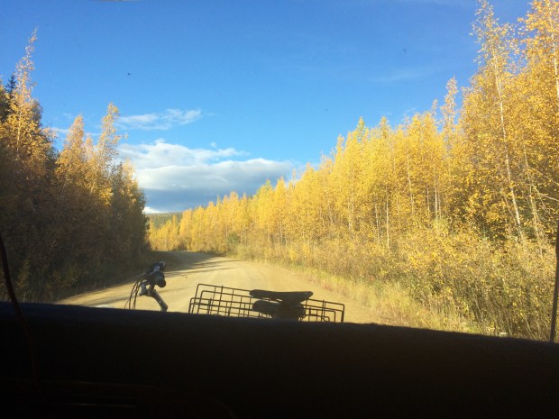
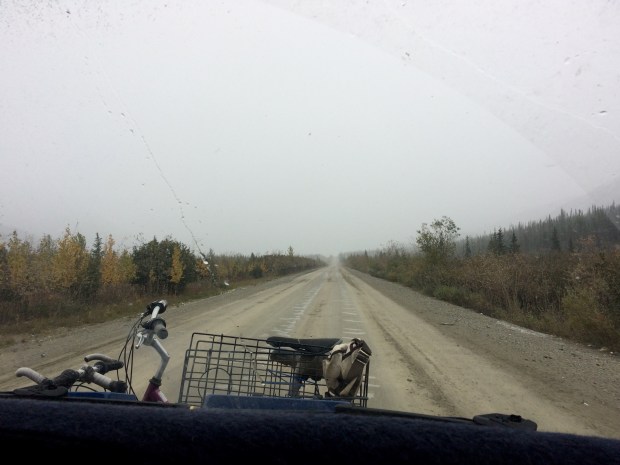
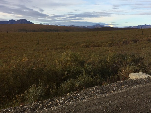
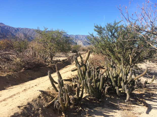
This road was another long stretch of slow going, surrounded by every flavor of cactus.

IMG_9450

IMG_9498

IMG_9509

IMG_9511

IMG_9525

IMG_9533

IMG_9546

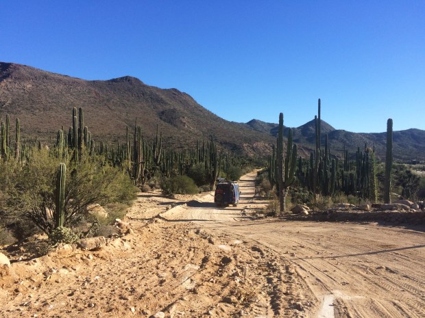
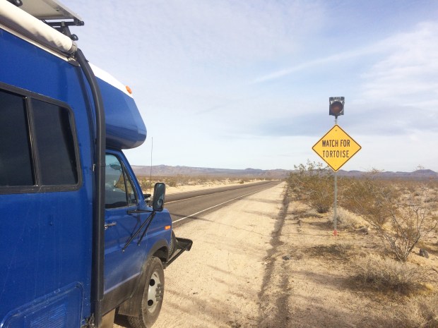
It was so beautiful that we didn’t mind it too much, until we’d reached hour seven and our brains couldn’t take the jolting back and forth for one more actual minute. The only vehicle we’d seen on the road in days was a truck hauling eight cows and traveling at about 80kph as they passed us. This isn’t a road for the faint of heart.

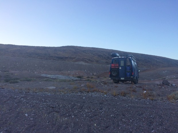
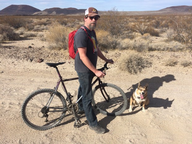
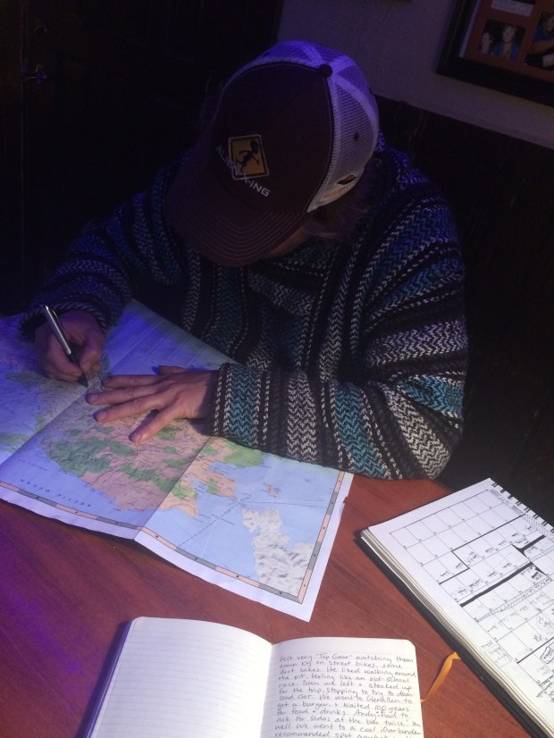
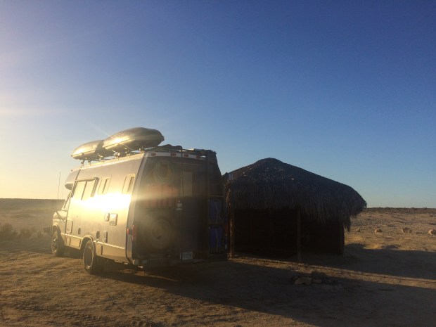
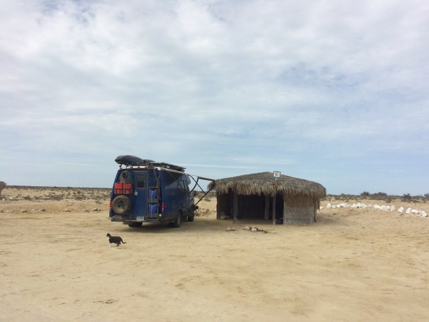
I began researching places to boondock for the night. iOverlander works offline, which was a lifesaver throughout our entire time in Baja! I saw a little ranch up ahead called Rancho Piedra Blanca that has room for campers for about $10 a night, and even had snacks and showers.

IMG_9567

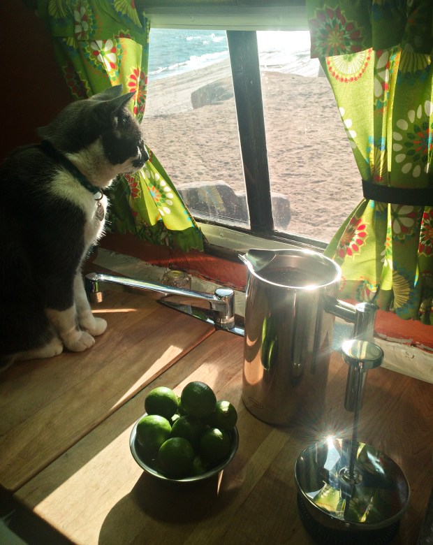
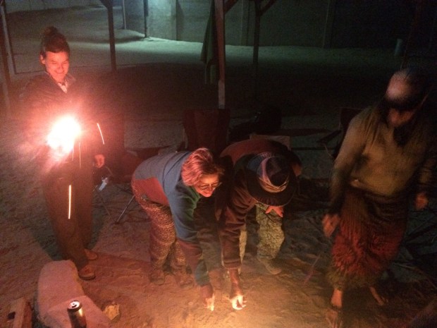
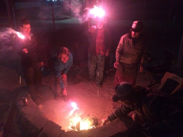
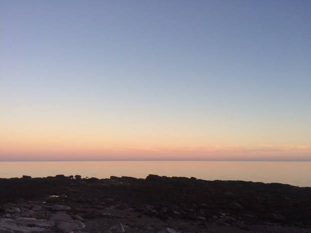
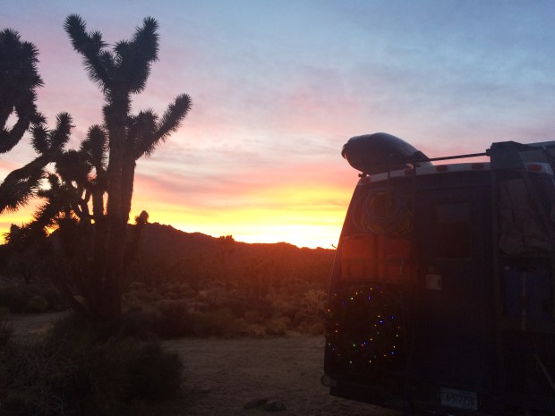
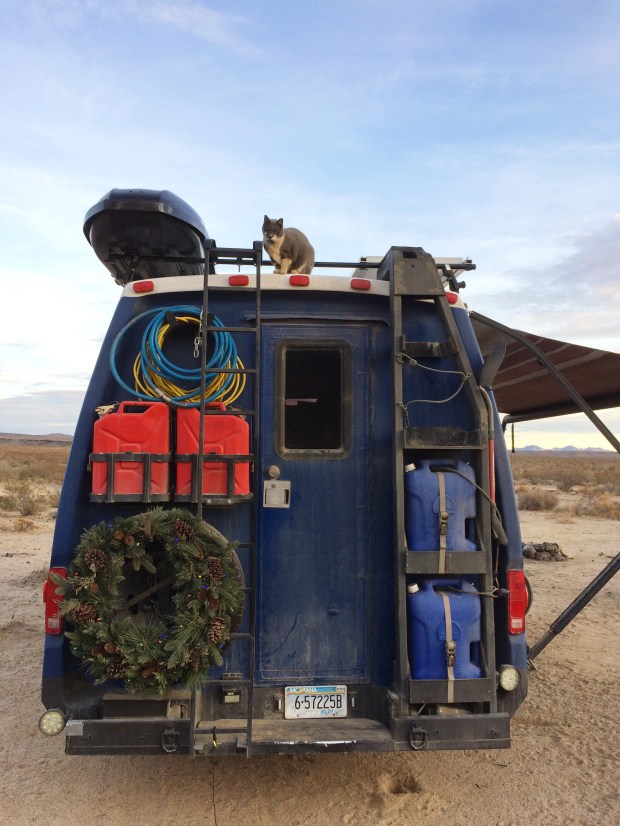
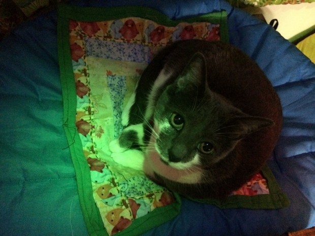
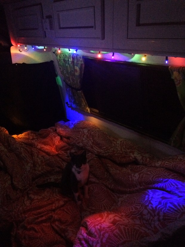
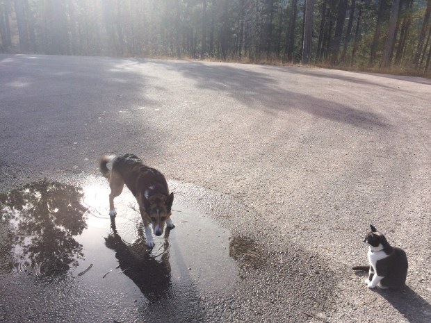
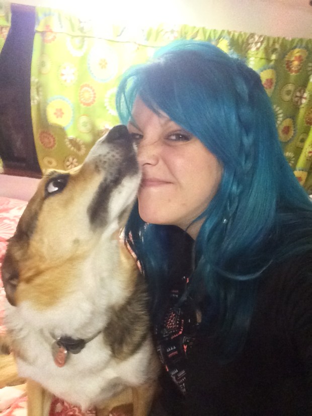
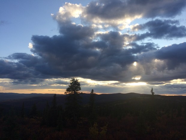
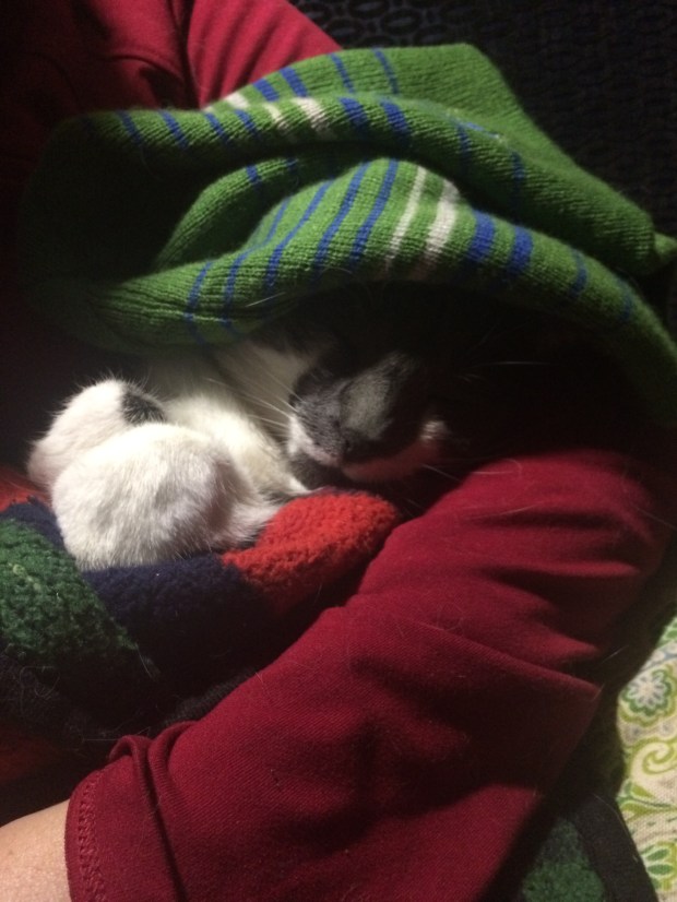
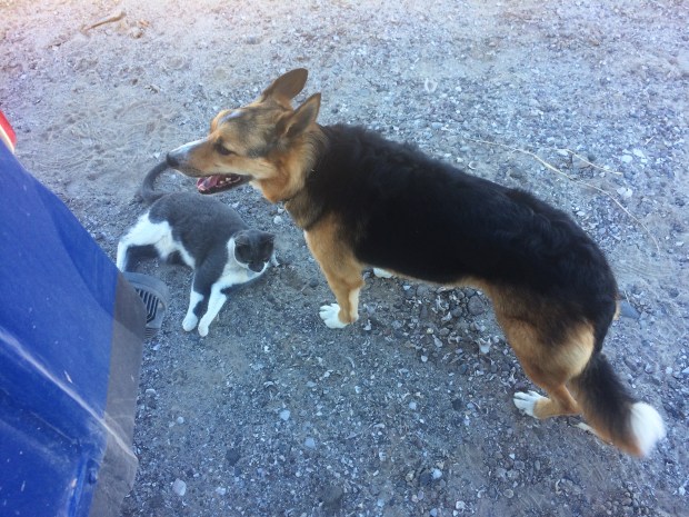
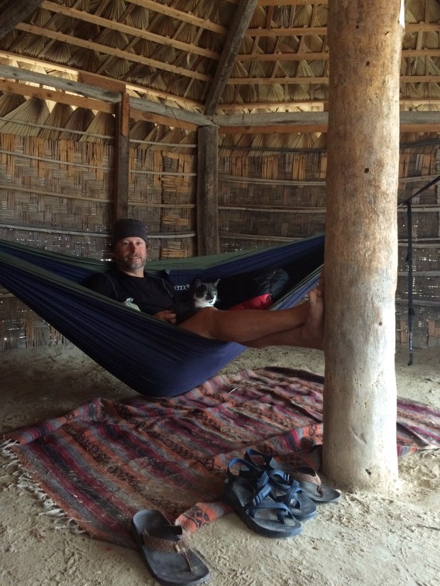
We sat on the porch and chatted with the caretaker in Spanish until bedtime. It was a lovely relaxing evening, watching the sun set and enjoying the pace of life out in the middle of nowhere. We discussed life in Baja, family and travel in as many words as I could recall, we learned that the cows who had passed us in a blur had been on their way to Rancho Piedra Blanca and were now residents, and I fell deeply in love with this tiny lady:

IMG_9572

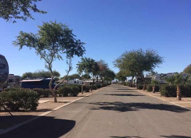
The next day we steeled ourselves for more bumps and after many more hours we saw pavement and cheered! We turned right on the Mex 1 to go just a bit out of our way up north to Guerrero Negro and after driving through the entire town we decided the best spot to camp for the night would be an RV park. Two nights in a row paying for camping! What are we, the Rockefellers? Is that a reference the kids are using these days?

IMG_9583

We sat on the patio and I began researching Guerrero Negro’s famous whale watching opportunities in earnest.

Here’s what I learned: half an hour south of the town is the Ojo de Liebre Lagoon, which is a popular calving spot for grey whales traveling their 6,000 mile journey from the Bering Sea. From January through April they come by the thousands to this lagoon, which is warm and protected from predators. The mothers feel so protected there that they seek out and enjoy the company of humans, and are even known to push their babies up to the surface with their noses to show them off and let them be petted. The height of the season is late January through late March, so our early February timing couldn’t have been better.

El_Vizcaíno_Biosphere_Reserve_Landsat_picture_annotated

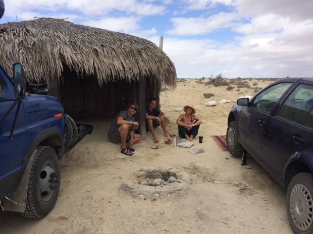
We met two awesome couples on the patio at El Malarrimo and spent a few hours hanging out over some beers and sharing stories. Marcus and Doria were planning to take a tour from Guerrero Negro the following day on a large tour boat with many passengers, and we met when I told them they might consider another tour. I’d just read on a website (because we got a wifi signal there!) that there are tours you can take on smaller 10-passenger panga boats that get you much closer to the whales, but I wasn’t sure where to go. As fate would have it, Di and CR had just taken a tour a day or two ago and they highly recommended that we drive the half hour south to a camp spot on the beach at Ojo de Liebre instead. They said the tour boats out of Guerrero Negro weren’t authorized to travel in the portion of the lagoon where there are the most whales, and because the boats are larger you don’t get a chance to touch them either. And I needed to touch a whale (now that I knew that was an option). They gave us directions and we started getting super excited.

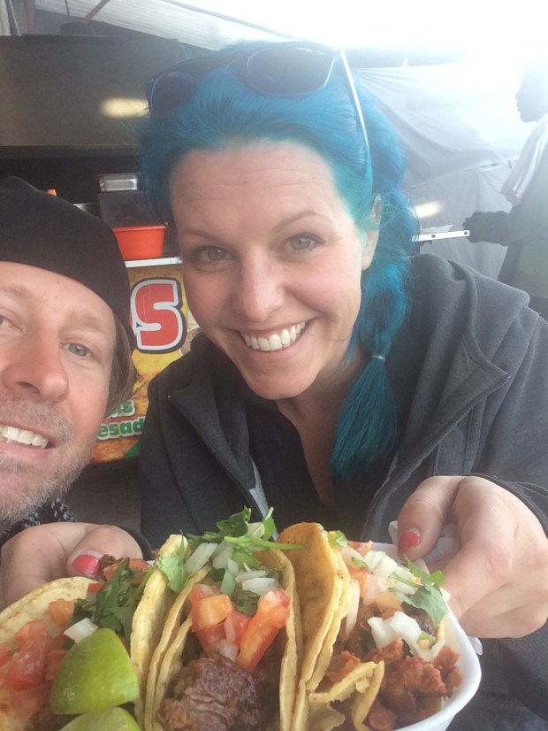
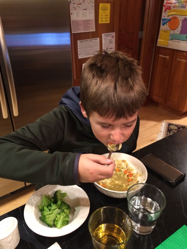
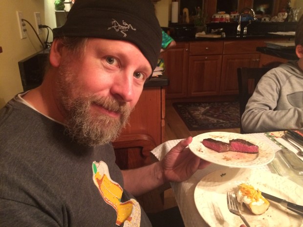
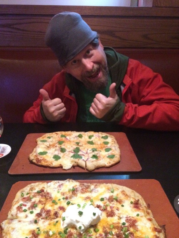
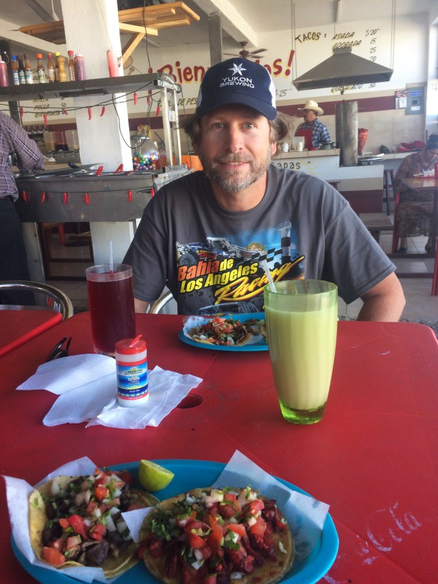
The next day we ran around Guerrero Negro, eating as many tacos as we could manage.


IMG_9597

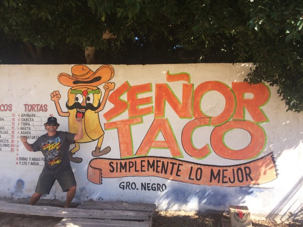
With hard work and dedication, Andy was able to reach a daily total of seven tacos, giving rise to our new expression, “It really was a Seven Taco Day.” This can be used in any application as an equivalent to “best day ever.” And the tacos adobadas at Señor Taco were in the Top Three Tacos we had on the entire peninsula, so that was icing on the cake. The taco cake.

IMG_9599

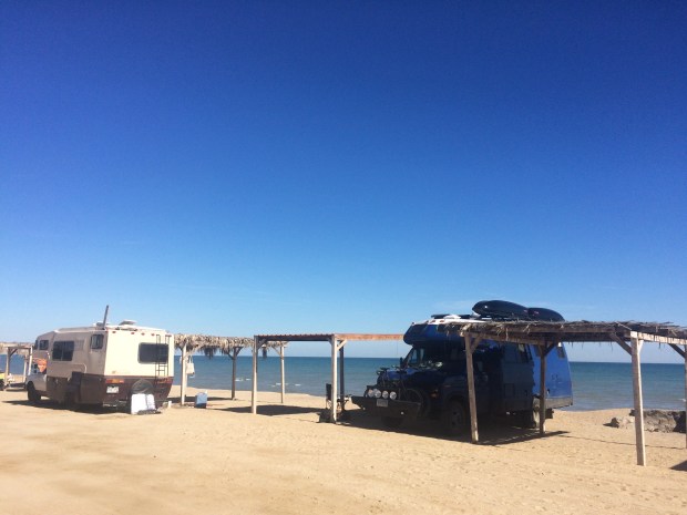
Later that day we followed Di and CR’s directions down to a campsite right by the lagoon, with huge round palapas at each site that basically doubled our living space. Fancy!

IMG_9615

We walked down to the restaurant at the entrance for dinner and big icy margaritas with Marcus and Doria and a handful of other travelers who were all going out to see the whales the next day as well.

IMG_9620

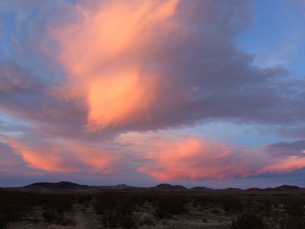
When we woke up the next day, it was pretty overcast and chilly. We optimistically mused that since it was only 7 a.m. maybe it would burn off, but the impression we got from the staff on the patio as we drank our coffee and watched the sky told us that what we were seeing is what we’d get. Oh well, we were going to see whales!

IMG_9633

Marcus and Doria were as excited as we were.

IMG_9638

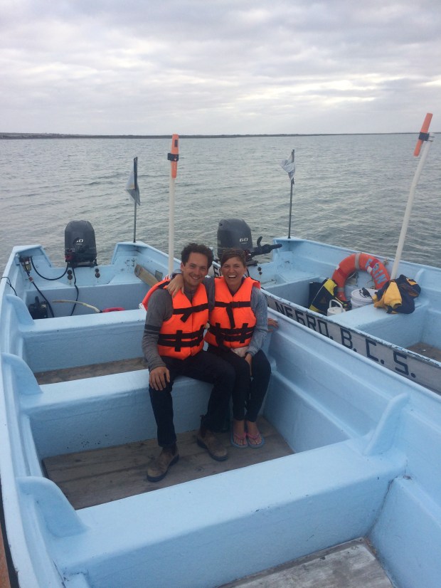
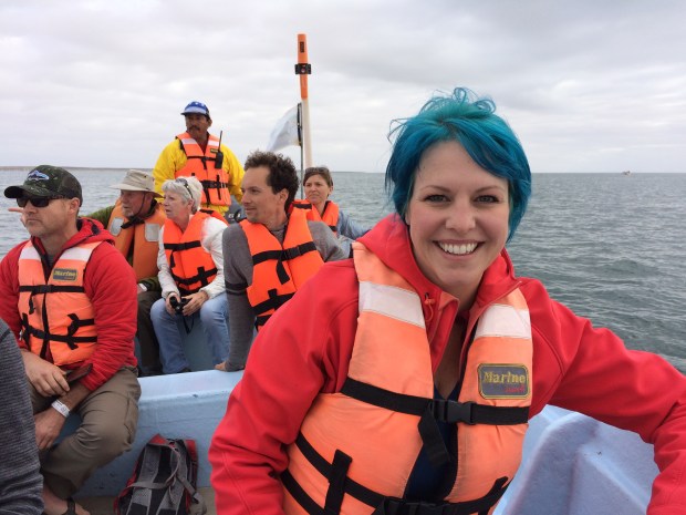
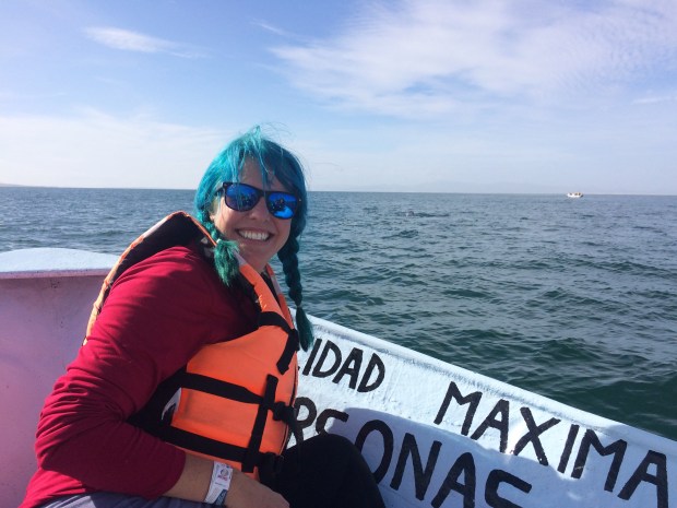
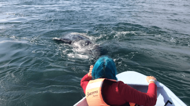
We sped out to open water on our little 10-person panga boat and breathlessly watched the horizon for spouts.

IMG_9644

IMG_9665

IMG_9659

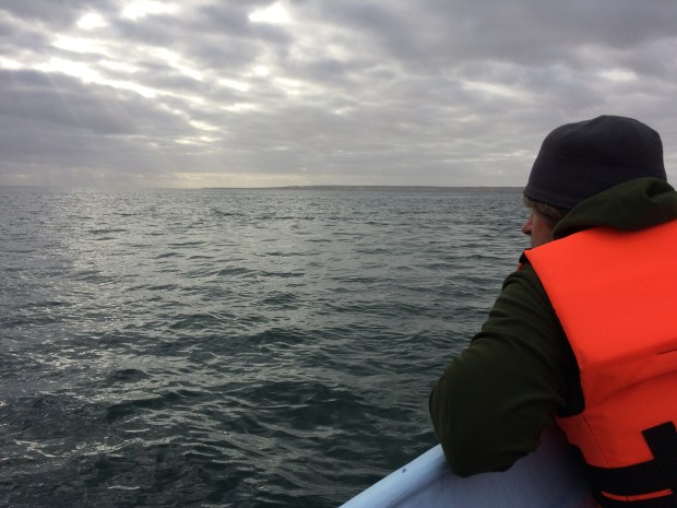
It only took about 10 minutes before we saw not only spouts in the distance, but the whales themselves, and close up!

IMG_9684

IMG_9687.JPG

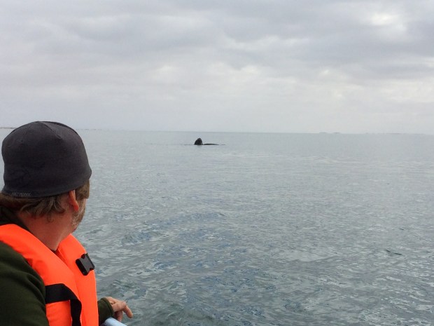
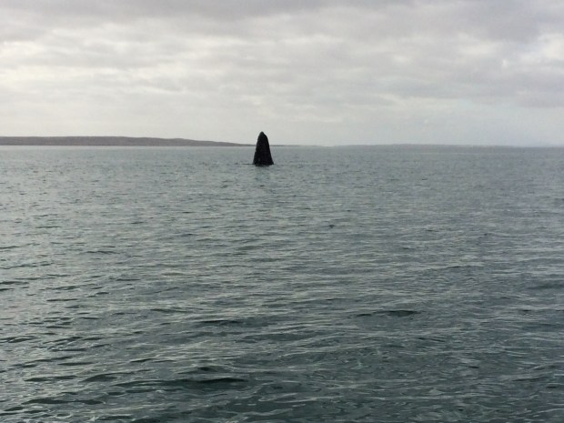
When we first began seeing the whales, a little girl on our tour was pointing each one out, saying, “There’s one!” “There’s another one!” until after a while we were seeing fifteen at a time, and she turned from the bow, threw out her arms and happily shouted, “We’re surrounded by whales!” It became the group’s catchphrase for the next few days.

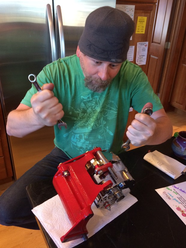
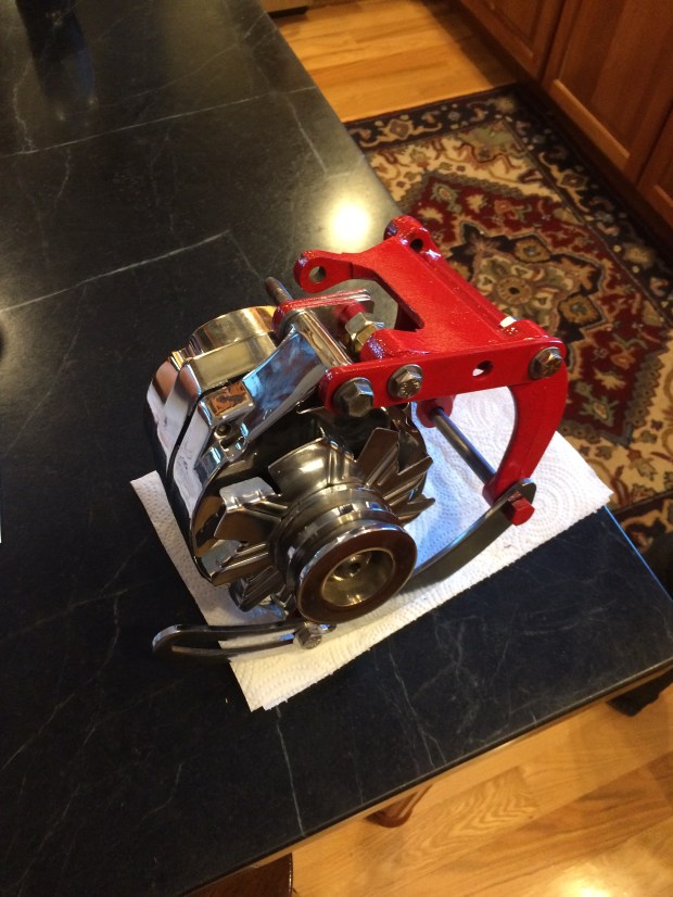
It was a fun tour, but we all suspected that the overcast weather may have had something to do with how mellow the whales were. We decided not to be terribly disappointed since we just had a miraculous day seeing grey whales from 10 feet away, and we reminisced with Marcus and Doria at their palapa as the boys fixed a broken oil pan (not the Turtle’s injury, for once!).

IMG_9711

Scout was no help at all, and silently criticized Marcus and Andy for misusing their frisbee time by working on the Golf.

IMG_9715

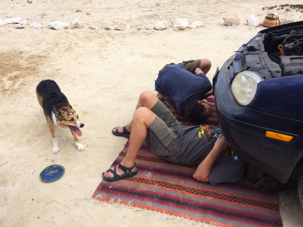
Gracie oversaw the project from on high.

IMG_9726

IMG_9732

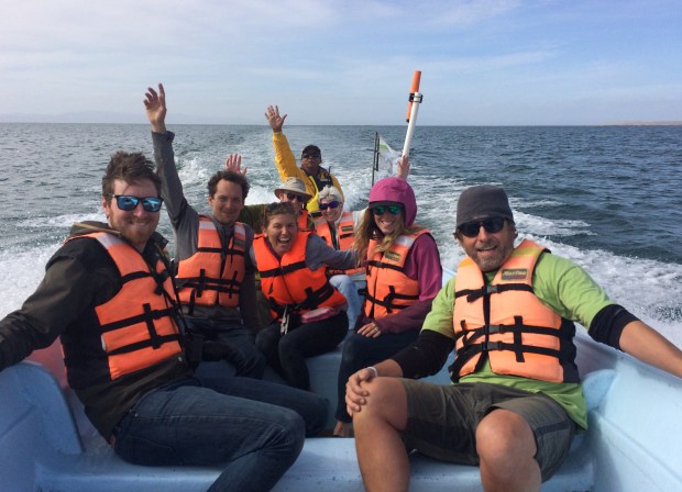
We considered the tour company’s policy of giving a discounted rate for a second day out on the boat, dropping the price from $45 to $20 if you wanted to go out again. We decided we couldn’t pass it up, and made plans with our new friends Ransom and Casey to meet up for coffee early the next day to try to get on the same boat.

The next day was absolutely perfect. It was warm and sunny, and we were able to get all our friends in one boat. Everyone felt positive about our chances to get closer to a whale on this gorgeous day.

IMG_9740

IMG_9763

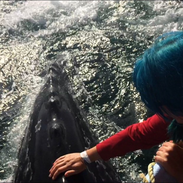
Though the tour began at the same time as the previous day, it was clear that the whales were feeling much friskier; they were swimming right up next to the boat in no time!

IMG_9775

I didn’t take many photos because I wanted to be present and experience the trip firsthand, but I did take some videos at chin level while I watched so I could relive it later.

It was a magical and deeply moving experience. These magnificent creatures were both enormous and gentle, and it was clear that they really did want to interact and play with us. The “little” 1,000 lb. babies followed their mothers right up to our boat, and flipped around onto their backs as they passed underneath us!

We watched these videos again after the tour, and Andy commented that I was grinning as widely as I had been when I witnessed it in real life. And now as I uploaded these I just realized I’m doing it again! It was a life-changing experience.

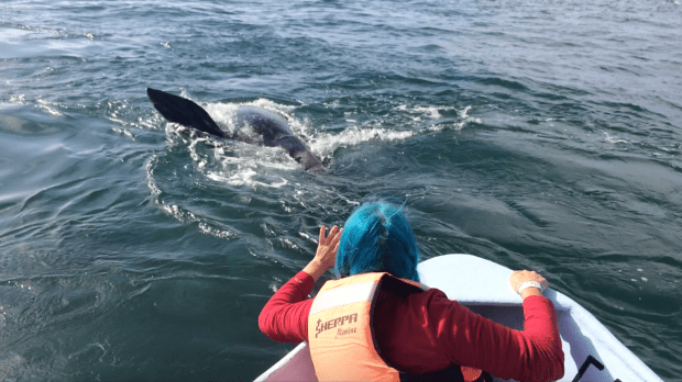
And then I GOT TO PET A WHALE!

I actually got a little teary-eyed afterward and had to sit back for a moment to take it all in. It’s hard to explain, but I felt tremendously close to nature and a part of another world that seemed so remote just an hour before. What’s another word for magic? Because I want to keep using that word as I describe the experience. I got to pet a whale!!!! 

IMG_9942

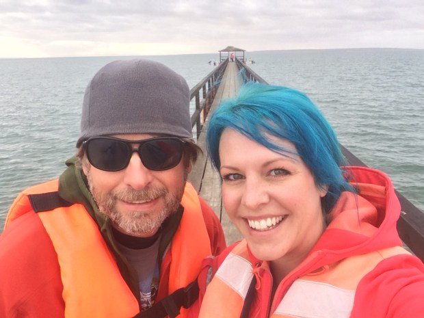
Almost everyone on our boat got to touch one at least once, which is why we looked like this on the way back:

IMG_9792

What a day.

We got back to our mansion after a big celebration lunch at the restaurant patio just as the coastal clouds were beginning to roll in.

IMG_9794

IMG_9809

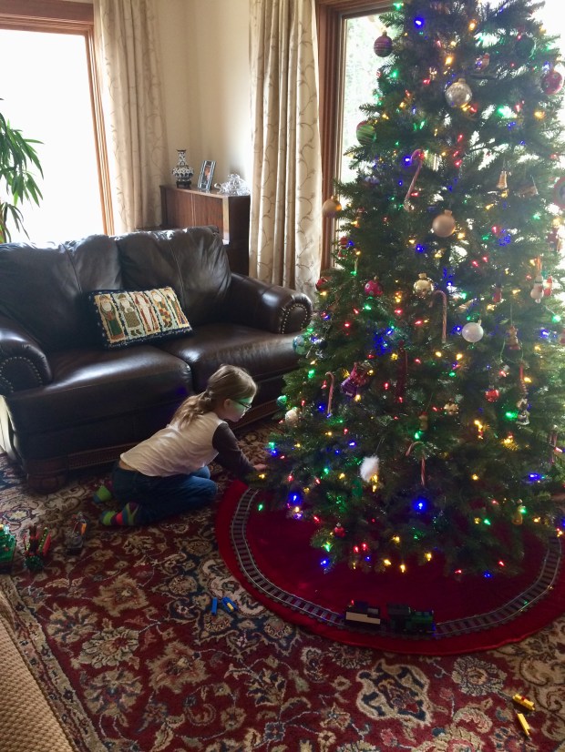
Luckily our suite had walls all around, so while the wind picked up and the rain began, we were all very cozy as we read books and watched the birds flying over the water in the distance.

IMG_9829

IMG_9831

Before we went to Baja, I didn’t know that one of my biggest dreams would be getting to pet a whale. Rarely do we get to realize a dream exists while it’s happening, and I’m so grateful I got to experience it. When we talk about our best days in Baja, this one always tops the list.

Screen Shot 2018-06-19 at 1.31.06 PM

It really was a Seven Taco Day!!!

Screen Shot 2018-06-19 at 1.30.37 PM

3 Months in Baja: Border Crossing to San Felipe

Since we first moved into the Turtle, an extended tour of Baja had been at the top of our travel list, though it continuously got delayed due to too much fun in the border states! We’d prepared for the trip as much as we could manage amidst other adventures—which is to say we bought the book everyone recommends for travelers driving through Mexico. It’s called the Traveler’s Guide to Mexican Camping by Mike and Terri Church, and we found it a useful resource for planning the trip. We’d recommend it for anyone planning a van or RV trip to Baja and/or mainland Mexico.

9780982310106_p0_v1_s260x420

It gave us enough information to choose a border crossing that worked best for us, informed us of the crossing process and procedure, what cards we’d need to obtain after arriving, and helped us make our lists of things to do before crossing, such as buy Mexican insurance, ensure we were up to date on the required pet vaccinations, and get some pesos to have on hand, as credit cards are scarcely accepted. It has a fairly up to date list of all the campgrounds in Mexico, which is quite useful since cell service is unreliable on the peninsula, making it difficult to look up places to stay while you’re on the move.

It also recommended we stay overnight somewhere near the border so we could cross earlier in the day when there is less traffic, which was something we’d planned on doing anyway as we still had some research to do now that our Baja trip was actually on the horizon. We found a great spot in El Centro—not far from our chosen border at Calexico—that was so fabulous that we decided to stay an extra day!

IMG_8199

The Rio Bend RV Resort was the perfect place to relax, swim, and get all the necessary pre-Baja jobs done, such as laundry, flushing tanks, using WiFi to buy insurance and get it printed at the office, dying hair, etc. (Dying hair is on the to-do list for all travelers, right?)

IMG_8204

They have a great dog park, a golf course, a pool and hot tub, an outdoor bar by the pool with great happy hour food and drink specials, special events like the Murder Mystery dinner we attended, and a staff that was so nice we felt like regulars the first hour we were there!

IMG_8205

IMG_8226

We were fully refreshed and super excited the morning we drove to the border. It was about 10 a.m. when we got there, and we only had a handful of cars in line in front of us! Of course since we’re in a van—and a bizarre one at that— we expected that every time a search was possible, for us it was inevitable. Over the next few months that assumption proved true, though every search was an easy and pleasant experience, including our first one going into Mexicali. They just asked us to get out of the van so they could look around in the back, and as I held onto Scout outside, Andy gave the tour and did his best with a language barrier to tell the young guy what our plans were in Baja. It took all of five minutes and we were on the way!

IMG_8234

It was overwhelming driving our big van into Mexicali, where we didn’t yet know what all the signs meant and traffic laws seem optional. I recommend getting the signage basics under your belt before going to Mexico, since knowing that a sign with a big “E” means “Parking” is helpful when trying to navigate through a wildly busy city trying to find an invisible Banjercito. We somehow found a place to park, found the Banjercito, got our tourist cards, and got out of town!

IMG_8238

We drove across miles and miles of desert on our way south, laughing about the funny thing that had happened the day before.

While we were staying at the RV park, we had casually been reviewing our plan to drive straight to San Felipe as we got ready to go for a swim. Andy sat on the couch and looked at his email, and after a few minutes smiling at his phone he let me know that he’d gotten an email from our friends Gary and Kiki, who we’d met at Mesa Verde National park last year and who have also been traveling full time in their charming van named Birdie. He related that they just wanted to say hello and let us know that they had decided to spend the winter in Baja, and presently they were enjoying a lovely spot on the beach just outside of San Felipe! Holy moly! Andy wrote back to let them know that we would see them tomorrow.

And now we were on our way, knowing we’d have a place to stay next door to friends!

IMG_8241

IMG_8243

We got to Gary and Kiki’s spot later in the evening, and sat outside for a few hours talking about where we’d all been and where we planned to go in Baja. It was totally surreal accidentally seeing friends in Mexico, and just so much fun.

Screen Shot 2018-05-20 at 1.05.36 PM

We thought we’d spend at least a few days at that spot as we acclimated to the new environment and enjoyed some time with our friends. Birdie and the Turtle looked so cute on the beach together. Animal vans unite!

IMG_8325

On our first day there we could hardly wait to go grab a few tacos, so we drove into San Felipe and picked a spot on the malecon for some carne asada and tacos adobadas. We sat outside with a view of the ocean and devoured those tasty cheap tacos. As we’re both big-time taco lovers, we made it our personal mission to find the best tacos in Baja, a job we exuberantly embraced.

IMG_8245

We checked out a few nearby shops and then stopped at a cute spot for a beer while we tried to memorize the pesos to dollars conversion. I got all the coins out of my wallet to look at the pesos, and we laughed at the combination of change I had on me. It was a fun reminder of all the places we’ve been.

IMG_8250

On our way back to the campsite, we stopped at the Calimax grocery store, and as we started the Turtle to leave we had our first Mexico breakdown! I took a photo for our records as Andy successfully fixed it. (It’s funny that these events are just a quick line item any more, as opposed to a tragic tale of how our day was ruined. Andy knows his stuff!)

IMG_8253

On our second morning in Baja I woke up wondering where I was, as is part of my normal morning routine these days. I climbed down from bed and looked out the back window to this happy view:

IMG_8256

What a spot for a morning frisbee session!

IMG_8257

Until we learned more about the area and the potential wildlife that could be nearby, Gracie stayed inside or came out only on a leash. Luckily there were lots of birds around for her to chatter at through the window.

IMG_8288

She also really enjoyed the warm weather and powerful sunbeams.

IMG_8329

We also were very pleased with the warm weather, despite the first few days of wind. I spent a lot of time on the beach with Scout, who may have been the most pleased of all of us to have the endless beach at his disposal.

IMG_8347

IMG_8356

We also really enjoyed catching up with Gary and Kiki, who were the most fun neighbors during our first week in Baja!

IMG_8361

IMG_8441

IMG_8443

We went for beach walks, talked vans and travel (of course), enjoyed morning coffee together, and sat out overlooking the water watching the sun set.

IMG_8382

One evening as Andy and I walked along the beach with Scout, we came across this interesting fellow:

IMG_8393

We also ran into another interesting fellow, our friend Jordan who we’d recently met at RTR, the van meetup in Quartzite earlier that month!

IMG_8092

He was traveling south to the mainland, and swung by San Felipe to say hello and get Andy’s assistance with some new solar panels. The more we travel, the smaller the world seems to be, and having a friend just “stop by” our campsite in Baja is now a thing.

IMG_8418

The boys got to work wiring and affixing the panel, which was not always easy, but entertaining to watch.

IMG_8424

We went for dinner and drinks after the job was done. Jordan introduced us to quesatacos, which are a perfect blend of carne asada and melted Mexican cheese, and became a favorite of ours throughout the trip.

IMG_8456

We had a campfire that night while we watched Jordan’s first few YouTube videos documenting his travels. They’re hilarious and really well made, and if you want to follow his journey you can do that here:

We thought it was funny that, while we watched a part about a wood piece he’d had in the back of his truck but just removed, we were at that moment using it as fuel for the fire! So I took a picture of them side by side.

IMG_8461

A day or two after Jordan took off for the mainland, we were still at our awesome beach overlook site when my birthday showed up! It was a most incredible day. For breakfast we had coffee and fresh Mexican pastries.

IMG_8480

Then as I got ready for the day, there was a knock at the door and standing outside were Andy, Gary, Kiki and our other sweet neighbors Stashik and Dorota. They sang Happy Birthday to me and Stashik played a second verse on his harmonica. What a wonderful start to a special day!

IMG_8484

I played on the beach with Scout for a while and collected sea shells.

IMG_8491

Then Andy and I went into town for lunch. . .

IMG_8504

Walked along the malecon. . .

IMG_8514

And then on the way home we picked up some fireworks! We had a campfire with all four neighbors, and lit sparklers.

IMG_8542

IMG_8544

IMG_8567

Then we went down to the beach and lit off some mortars, the first time my birthday was celebrated with fireworks! After the show, we went back up to the campfire and had birthday cake. Gary played some songs on his guitar, and we all told stories of our lives up north.

IMG_8580

Then if all the festivities weren’t enough, that night was a full lunar eclipse! We all went to bed after the fire and set our alarms for 4 a.m. so we could wake up and watch the show. We had coffee and thin slices of birthday cake as we watched the moon disappear. What a day! It was all very special.

IMG_8592

After a week at our lovely spot, we thought it was time to hit the road. There was still so much more to see! Stashik and Dorota were headed home to Canada, and Gary and Kiki had planned to stay a bit longer and then drive to their destination outside of Mulege. We all said goodbye-for-now, and Andy and I continued down the road.

IMG_8606

We stopped for the night at a dispersed camping spot on the beach just south of Puertecitos. We got there right in time for a beautiful pastel sunset and a quick frisbee session before dark.

IMG_8632

IMG_8633

IMG_8638

After the sun went down, we put our head lamps on and explored the rocky beach. We saw more sea life than some aquariums have to offer! It was super neat.

IMG_8656

IMG_8660

We’d also been tipped off by some locals that the beach had rock oysters, and after extensive searching in the dark we found about five of them, which Andy ate raw right on the spot. I tried one and did not enjoy it, but I do like the searching part.

IMG_8650

The next day was another sunny morning in Baja. After coffee on the beach and some pelican watching, we hopped in the Turtle and drove further down the crazy Mex 5, bumping and lurching our way along the dirt road they call a highway that rivaled any we’ve braved before!

But that’s a whole other story.

Mojave National Preserve: Kelso Dunes

Everyone has heard me say it over and over—whether in defense of my inability to supply Turtle arrival dates and destinations or even just to tell stories involving unexpected delights and trials—and just in case you haven’t heard me say it lately, I’m here today to say it again! When you travel full time and are regularly on the move, there’s not a lot of time to make future plans. We’re always in the middle of an experience, so not only do we not have time to sit and research, we also could change course at a moment’s notice and then all the time we spent planning would be for nothing. So we just wing it, and more often than not we’re pleasantly surprised!

There was a whole lot more to Mojave National Preserve than we’d imagined, and the next stop was the Kelso Dunes on the south side of the preserve.

IMG_6889

Just a little ways past the Kelso Dunes Trail parking is a free dispersed camping area, where we found a nice spot against the dunes, had some lunch, and let the animals out to play in the sand.

IMG_6900

IMG_6909

While Andy sat outside the Turtle, basking in the sun and sanding a car part to artistic perfection, Scout and I embarked on a hike up the dunes.

IMG_6936

IMG_6916

IMG_6943

The dunes give the landscape no sense of perspective, but if you can see the line where the light sand meets the darker shade, just to the right of the green swath in the middle is the lighter dirt of the parking area, where a teeny tiny turtle sits almost imperceptible to the naked eye.

IMG_6968

After a few hot hours of slow and steady climbing, we got nearly to the top when we were faced with a nearly vertical wall of sand. I tried scrambling up at top speed, but the moment my hand dug into the sand, this happened:

My hands and feet would get buried in the sand avalanche and I’d slide right back down! After some serious top speed climbing and a ton of grunting and a few requests to Scout to stop making it look so easy, we made it to the top.

IMG_6979

Totally worth it!

IMG_6983

IMG_6989

A wonderfully long hike is not its own reward in Scout’s opinion, so I had to make the journey worth his while by playing a little frisbee with him on top of the world.

IMG_6999

IMG_7006

When the day began, I couldn’t have anticipated that this would be my backyard vista. Another pleasant surprise for the books.

IMG_7017

Scout Climbs a Volcano and Gracie Turns Brown: Christmas at Mojave National Preserve

I think the member of our pack who is most pleased that we’re taking our time through the wilds of the desert is Gracie. This girl does not love being stuck inside.

IMG_6214

In order to spend more time playing outside, we took I15 one small stretch at a time, enjoying the weather and the dispersed camping along the way. When we arrived in Mojave National Preserve, we hadn’t planned ahead to see what there was to do in the area, as is our usual way. So far it’s worked out brilliantly for us, and we didn’t share the concern we received from others when we told them we had no idea where we’d spend Christmas. We had decided months ago that in order to cover a little more ground this year, we’d skip the usual family gathering and just celebrate outside somewhere.

It was still about a week before Christmas when we found a great dispersed spot on the north side of Mojave National Preserve. The moment I opened the door, Gracie hedgehogged herself into a ball and just started rolling happily in the dirt.

IMG_6338

The next loosely-planned stop on our journey was going to be Joshua Tree National Park, so I kind of thought that would be the first time I’d see a “forest” of Joshua trees. Nope. We were surrounded!

IMG_6357

IMG_6344

I think that’s one of the things I love best about not planning ahead—we get to be surprised on a regular basis. And a back yard forest of desert trees was a really fun surprise!

IMG_6350

IMG_6355

IMG_6362

IMG_6371

I continuously had to remind myself that it was almost Christmas. We had our wreath hung on the spare tire on the back of the Turtle and our string of lights hung inside, but in this environment it felt deliciously more like summer vacation.

IMG_6346

IMG_6373

We’re reminded that it’s winter only by the early hour of the sunsets, which come too soon, but make up for it by being magnificent.

IMG_6376

IMG_6377

IMG_6382

IMG_6386

We watched the colors until they fell into darkness, then went inside to make dinner. At one point Andy looked out the windows up front and pointed out a strange light in the sky. At first we had no idea what we were looking at, but I was totally convinced it was a UFO while Andy was sure it was literally anything but that.

IMG_6390

Even I had to admit it looked maybe like a (human-made) rocket, but why would one be launching out here? I took a video so we could watch it later, then we went inside to look it up. Sure enough, a rocket had just launched in San Diego. If we had known, we probably would have driven out to go see it up close! But as it was, we were excited about yet another awesome surprise.

The next day we decided to drive right outside the preserve to pick up a few groceries since we loved this spot so much we thought we’d stick around longer than originally planned. We drove up to Baker and stopped first at this unexpected shop.

IMG_6401

IMG_6412

Then after picking up a few supplies, we headed back into the park, not realizing that the Turtle had relatives out here.

IMG_6431

I found a good-looking dispersed camp site on one of our apps farther south than our last overnight stay, near a lava tube that is apparently a big attraction for visitors of the preserve. We decided to stay the night there and visit the lava tube the next day. After slowly driving the washboarded dirt road to the site, we parked next to an inactive volcano, apparently one of many around the area.

IMG_6441

IMG_6444

Gracie wasted no time leaping outside to try on some of the new local dirt.

IMG_6586

I know cats like to take dust baths, but she takes it to another level. She loves it so much that she is turning semi-permanently brown! We just decided to say she’s a calico now.

The next day, we got our bikes out and rode with Scout by our sides down the bumpy road a few miles to the lava tube.

IMG_6449

IMG_6452

IMG_6467

IMG_6469

Scout waited outside for us under the shade of a Joshua tree with his water dish surrounded by rocks so he wouldn’t tip it over, and we went down into the lava tube.

IMG_6474

IMG_6475

IMG_6476

There are a few holes in the lava ceiling where the sun shines through, and we’d been given a tip by some friendly passers by the evening prior that light is at its best angle for around noon or 1 p.m. It was around noon when we arrived, so we hung out in the cave watching the light move and change.

IMG_6497

IMG_6512

Soon a strong narrow beam emerged.

IMG_6527

And it grew wider and brighter.

IMG_6562

IMG_6572

Another beam shot in from a hole in the main dome of the cave as well. It was magical.

IMG_6573

After the bumpy ride back to our spot, we were all feeling pretty spectacular about what a nice place this was to live for a bit. Even though cars drove by periodically, it felt like we had the entire desert to ourselves. Which was so exciting for our little adventure cat, who doesn’t get to go for walks when we’re in the city like Scout does. And all she wants in life is fresh outdoor air and a little space to explore.

IMG_6594

IMG_6601

She’s been loving the desert terrain so much that even when she comes inside she brings some with her.

IMG_6604

Every time she comes back in, it looks like this:

We’re not bothered by it, though, as we spend our fair share of time outside getting dirty too. It’s just part of the life. And so are breathtaking sunsets. It’s a give and take, really.

IMG_6606

IMG_6612

IMG_6625

IMG_6632

We realized as we watched the sun go down that it was Christmas Eve! I guess we know where we’ll be spending Christmas.

IMG_6646

On Christmas morning as we drank our coffee, we discussed how we wanted to spend the day. Scout chose to spend his morning trying to convince Gracie to throw the frisbee for him. He followed her around for some time, waiting for her to sit down and then gently tossing the frisbee to her just as he does with us.

IMG_6674

She wouldn’t go for it.

IMG_6679

So I did for a little while, as a consolation, even though we knew he’d be coming with us on the outing we decided on for the day: a hike up the volcano!

It was much, much more difficult than we’d anticipated. The entire face of the volcano was loose pebbles of lava rock, and it was so steep it required crawling on hands and feet. It was like being on a stair stepper. Every other step we’d hit a patch of gravel so loose it was a wonder it had stayed where it was in the first place, and we’d slide down a few feet. And because it was lava rock, when we’d grab out to catch ourselves, our hands would get sliced and shredded. It was exhausting, and since we had no intention of giving up, we took breaks every ten minutes or so to keep our energy and morale high enough to continue. I told Andy at one point, “I didn’t come here to climb to the almost-top of a volcano today.”

Here is the view from one of those breaks. See that little speck right off the road? That’s the Turtle! And at this point we were barely a third of the way up.

IMG_6682

IMG_6697

IMG_6699

Even though it was a challenge just perching ourselves on the hill (one that does not look even remotely as steep in the photos as it truly was), Scout tried the entire time to get us to throw sticks for him. The OCD is strong with this one.


IMG_6702

Here’s another view from a break. Can you spot the Turtle? We’re a little over two thirds of the way up at this point.

IMG_6705

IMG_6708

We scrambled and panted our way up this bizarre surface for much longer than we’d guessed we’d take making it up the 500′ climb. And then suddenly, we were at the top!

IMG_6711

We earned our ecstatic victory photo!

IMG_6718

IMG_6727

IMG_6745

We got great reception up there, so we called our families to wish them all a Merry Christmas, took some photos and admired the view of the desert far below.

IMG_6765

IMG_6769

Then we began the descent, which took like three minutes. We basically just walked down, each foot sinking down into the gravel and carrying us a few feet every step. It was like being a giant, which I now believe would be really fun, if it truly was anything like our speedy jaunt down the volcano.

IMG_6789

That evening’s sunset was another beautiful one. We’re getting spoiled out here.

IMG_6820

IMG_6828

We were quickly growing fond of this site, and decided to stick around for a few more days to relax and enjoy ourselves.

Gracie got right on the job.

IMG_6838

I spent the time finishing Andy’s belated Christmas gift, a tool holder for the driver’s side door, which took a little longer than expected since I had to hand stitch the whole thing. It turned out pretty nice, I think, and he loves the convenience it.

IMG_6840

Andy had his own project going as well, constructing a temporary custom storage box from cardboard, and when Gracie heard the word “project”, she quickly responded by inserting herself in it—literally.

IMG_6855.JPG

IMG_6848

Between the fun day trips and the relaxing time all to ourselves, we weren’t sure how many days longer we’d stick around and where we might be for New Years Eve, but we were in no hurry to ruin the surprise.

IMG_6864

A Sun Story: Canyonlands National Park

Both Andy and I grew up in Montana, and later lived in Seattle and Portland for the better part of our adult lives. This was mostly a coincidence, as we didn’t meet until we were both living in Portland, though early on we discovered that our paths had crossed many times over the years. We joke that our first concert together was The Pixies at Bumbershoot years ago, despite the fact that we didn’t know each other at that point.

We love Montana and the Pacific Northwest dearly, or we wouldn’t have stayed so long! But I think we can all agree that none of these places are known for an abundance of warmth and sunshine. Which is why, as we get farther and farther south, we’ve been amazed at the effect the sunshine has had on us. We’ve been infused with energy and feel so ready to take on the day each morning, and it only occurred to us after a few weeks in Utah that the sunshine may have something to do with it. We’re not used to all this vitamin D and the great feeling of sunshine warming our toes in their flip flops.

Luckily, we made it out to some seriously wide open spaces that can accommodate our ebullient sunshine-infused energy. After exploring Arches, we stayed one last night at our great BLM site north of Moab, then drove the short distance to Canyonlands National Park.

IMG_5885

IMG_5891

It’s big.

IMG_5892

The park is divided into four sections, with no continuous road connecting them due to the paths of the Green and Colorado rivers.

canyonlands-map.jpg

The districts are:

  • Island in the Sky
  • The Needles
  • The Maze
  • The Rivers

They each have separate entrance points and every area offers a unique park experience. We were closest to the Island in the Sky, which is one of the more developed portions of the park, with hiking trails and a designated campground.

Right away we decided to drive straight through to the end of the road, at Grand View Point.

IMG_5896

IMG_5894

There’s an overlook with an incredible view, and an easy walking trail that follows the rim of the Island in the Sky for about a mile out one way.

IMG_5895

IMG_5897

IMG_5908

IMG_5909

The viewpoint at the end of the trail is 360 breathtaking degrees of, well, canyonlands! It’s hard to grasp the scale of it.

IMG_5936

IMG_5914 1

IMG_5912

IMG_5920 1

IMG_5923 1

On the walk back we wandered off the main trail to check out the landscape a little farther from the rim. It’s a great playground, and we ran and climbed around the smooth rock formations under the sunshine.

IMG_5939

IMG_5948

IMG_5951

IMG_5959

When we got back to the Turtle, the sun was beginning to go down. We drove out to the Green River Overlook to watch it slide like melting butter across the rolling hills below.

IMG_5961

The view in the other direction wasn’t bad either! The saturated evening sun lit the rocks and bushes, painting everything in rich golds.

IMG_5971

IMG_5973

Near the Green River Overlook is the Willow Flat Campground, where we decided to stay for the night. There’s a lot of room to walk around there too, so we took Scout out to explore while we watched the rocks change colors. (As we walked he was on his leash per park rules, but I liked the backdrop so I took it off for the photo. He’s getting a lot better at having his picture taken and didn’t move an inch the whole time. Good boy!)

IMG_5989

IMG_5999

The sunset was as grand and spectacular as the canyon views.

IMG_6013

IMG_6015

IMG_6018

IMG_6014

The next morning we got up before the sun rose to walk up to Mesa Arch, which the ranger recommended we see at sunrise. Apparently it’s the most photographed spot in the park, as the rising sun illuminates the underside of the arch beautifully.

He was right!

IMG_6038

IMG_6057

We drove around the park afterwards as we drank our coffee and looked at the map to find one more hike before leaving. We decided on Whale Rock, which was a moderate hike with a cool name. I loved this hike.

IMG_6085

The views were expansive from way up on the huge smooth rock dome that actually did feel like walking on a whale’s back. We played with shadows in the crisp morning light and tried not to blow off the edge as the wind picked up.

IMG_6083

We left the park glowing with happiness and moved west until we reached a dispersed camp area outside St. George. Scout and Gracie were ready to get out and play too, and this spot was perfect for us all to hop out and run around.

IMG_6140.JPG

I looked out the back window after the animals had been out for a bit and caught them in a sweet moment.

IMG_6157

IMG_6159

I guess all this sunshine is really working wonders for everyone! I think we’ll stay down here a while.

IMG_6139 1.JPG

Catching Some Rays at Arches National Park

Living in a van comes with its own set of challenges, which are made increasingly more difficult when the weather is freezing. We’ve spent many months living in icy climates in the Turtle, and while the learning experience was necessary and helpful, we’re ready to put the cold temperatures behind us for a while. Everything is so much simpler in the sunshine. We don’t have to worry about tanks and water lines freezing, running out of propane so quickly, and water and dump facilities closing for the season. We don’t have to insulate the windows, making the interior a cave without a view. Andy doesn’t have to do maintenance under the hood with gloves on. Everything just works better in warm weather.

IMG_5444

We discussed this while we were up in Alaska, dreaming up ideas and plans for the winter. Last winter we spent most of our time in the snow, and this winter we decided we’d be crazy not to follow the other snowbirds down south to enjoy a little sunshine!

As we left the snowy weather behind us in Spearfish, we decided to break our self-imposed rule to not travel more than a few hours a day in order to get out of the cold as soon as possible. We made quick time through a few states and finally slowed down once we hit sunshine in Utah. We could hardly believe it was December as we drove out to some BLM land outside of Moab and parked the Turtle in the sunny desert.

IMG_5456

IMG_5476

Scout and Gracie were pretty pleased too. One of Gracie’s favorite pastimes is rolling in the dirt, and she got right to it. That little beast was so covered in dirt she didn’t even look like the same cat. Scout and I played obstacle course Frisbee between the grasses and shrubs and ran around the flat landscape. Andy got his tools out and turned some wrenches under the Turtle. Everyone was feeling spectacular.

IMG_5477

IMG_5486

The best part was that we were this joyful and had only made it to our campsite. We still had a bunch of places to explore just down the road from us.

The first was Arches National Park. Yay!

IMG_5515

IMG_5502

IMG_5540

Arches contains more than 2,000 natural arches, many of which are visible by car if you’re making a quick trip, and the rest can be seen along the myriad hiking trails that could easily occupy a few days in the park.

The first day we spent time in Moab before going to the park, resupplying and running errands, so we just popped into Arches as the sun was descending to drive through and see a few things before it got dark. Among other great rock formations, we saw the Three Gossips, Balanced Rock, and walked the short distance to the upper viewpoint where you can see Delicate Arch from afar. (That’s the iconic one you always see in pictures of Arches and on the Utah license plates.)

IMG_5543

IMG_5555

IMG_5585

IMG_5603

We went about halfway in, and after the sun went down we drove back north to our wonderful campsite on Willow Springs Road for the night.

IMG_5632

The next day we arrived earlier so we could spend the day in the park.

IMG_5641

IMG_5648

First we took the very short walk back through tall rock walls to see Hidden Arch.

IMG_5658

IMG_5667

It seemed like the kind of place someone might pose like this, so I did.

IMG_5693

Then we drove to the end of the road at Devil’s Garden Trailhead and walked in to see Tunnel Arch and Pine Tree Arch. There were a bunch more to see farther down the trail, but that hike can take a full day and we definitely wanted to do the 2-hour hike to Delicate Arch. It’s famous!

IMG_5705

IMG_5708

IMG_5712

IMG_5727

IMG_5754

The Delicate Arch trail is a lot of fun, and I’d go on that hike even if there wasn’t a gorgeous natural formation to see at the end. At first it’s a just a nice walk on a dirt trail surrounded by neat rocks and a pretty view.

IMG_5757

Then midway through the hike, the trail suddenly stops at a huge smooth rock dome that you walk up-up-up and over, with incredible views from the top! Somehow, the only pictures I took faced away from the view. No one knows why.

IMG_5759

IMG_5766

Once you reach the top, you walk through little areas of desert bushes and juniper trees for a bit.

IMG_5768 1

And suddenly you turn the corner and are walking on a rock path winding around a huge sandstone wall on your right. Andy climbed right up the side of it to peer through the little arch at the top, so I followed.

IMG_5770

IMG_5773

And what a view!

It wasn’t very busy that day, so by the time we walked over to the arch nobody was photographing it and we got to take our time getting some nice pictures.

IMG_5795

IMG_5806

IMG_5823

On our way back we took a side trail to go see some petroglyphs.

IMG_5834

As the sun began to set, we made one last stop at Double Arch. It was our favorite of the day! We climbed up a bit until we were underneath the arches, lay down on the ground and watched the shadows move across the rocks until dusk.

IMG_5847

IMG_5868

A quick trip to Moab Brewery rounded out the day perfectly, and soon we were back at our Willow Springs site. It was completely dark by then, but still warm enough to spend a little time outside before going back in for the night. Happily tired from a day full of hiking, we could just walk in and put our feet up. No insulating, no buttoning up to be done, no wet clothes to hang, no layers to put away.

It feels like summertime in the desert, and the living is easy.

Even More Parties: Spearfish, SD

As we meet new friends along our journey, most people are curious to know how far we’ve made it in the last two years living in the Turtle. And when they hear the answer, nearly all of them are surprised to discover how few states and provinces we’ve added to the list.

In case you’re wondering, here it is:

  • Oregon
  • Washington
  • Idaho
  • Montana
  • Wyoming
  • South Dakota
  • Colorado
  • New Mexico
  • Oklahoma
  • Utah
  • Arizona
  • Nevada
  • Alaska
  • Texas*
  • British Columbia
  • Alberta
  • Yukon

* I can’t decide if we should count Texas since we just crossed through the panhandle, which—on a side note—we learned is actually referred to as “West Texas”. Hm. Anyway, we were just there for a few days and never really got into the state so it feels like cheating to add it at this point. I’ll get back to you on that one.

Looking at the list, it seems like a lot of places to have spent time in two years, especially considering what my list would have looked like a few years ago living in Portland! But we’ve found that many full-time travelers move much more quickly than we do, and the fact that we haven’t even crossed over into the eastern half of the United States is perplexing to them. We’ve talked to people who drove from one coast to the other in a week! Which is perfectly fine—especially if your vehicle gets good gas mileage—but that’s just not our travel style. The Turtle is aptly named. We move slowly. And we like it that way!

IMG_3227

First of all, there are just a staggering number of incredible and beautiful and strange things to discover in every area we go. The more slowly we move, the more things we get to experience. Some of our favorite places have been little surprise spots we’ve stumbled across and loved so much we just stayed. Secret lakes, rivers, overlooks and canyons that we’ve had all to ourselves, and that we could have easily just driven by if we hadn’t taken the time to turn off the beaten path to explore.

IMG_6067

IMG_0115

IMG_6449

Secondly, we don’t get good gas mileage. I think you’re not surprised. So the less we drive, the less money we’re spending. We might as well stop to smell the roses so that we can prolong our trip.

IMG_1834 (1)

And lastly, we haven’t made it far because we keep getting opportunities to hang out with family! There’s always something going on and now that we have the chance to be more present, we’ve really been enjoying family time as if we were neighbors. So as we’re driving around, if we hear of an upcoming event, we just head that way.

After spending a few weeks of fun visiting Andy’s family in Great Falls and then my family in Bozeman, the last of the family stops (for now) was a visit to Andy’s sister Maggie’s house in Spearfish, South Dakota. His mom Genie was getting knee surgery there, so we stopped by for moral support and to lend a hand where we could, and if a lot of fun was had together in the meantime, so be it.

IMG_4947

Genie’s knee surgery was scheduled for birthday, so we celebrated ahead of time with a formal dinner. Andy prepared another fantastic feast, with his scrumptious stuffing and a second turkey.

IMG_4820

IMG_4815

Andy’s niece Ellie can plan a party like nobody I’ve ever met before, and she’d already picked out the perfect cake to make. (I’d advise saving the date for her to plan your party now; by the time she’s old enough to begin working, she’ll be booked for a lifetime already.) Maggie baked the cake and made the icing, I iced it, and Ellie and I piped the flowers. Her brother Will came home and soon he and Andy were even hard at work piping flowers too.

IMG_4826

IMG_4831

IMG_4824

IMG_4841

Maggie set a lovely table, and Andy’s turkey came out perfectly.

IMG_4843

It was really shaping up to be a good party! Everyone got dressed up and we got a few photos to show that we do in fact clean up pretty well.

IMG_4847

IMG_4849

IMG_4852

IMG_4853

IMG_4858

IMG_4864

IMG_4865

IMG_4868

IMG_4882

It was a lovely party!

Genie had her surgery, and it went well. As she recovered, we all enjoyed our time together.

Gracie and Scout played outside in the sunshine regularly.

IMG_4898

IMG_4899

IMG_4936

IMG_4989

Andy made some turkey noodle soup.

IMG_4990

And it was delicious!

IMG_4992

He also worked on this car part. Before meeting Andy I didn’t realize that an appropriate adjective for car parts could be “pretty”.

IMG_5040

IMG_5032

A few days later, it was Andy’s birthday! We surprised him with a Lego-themed party, which I’d been wanting to do for a few years now, but this location was ideal since Will and Ellie have extensive Lego collections and are also nice people who are wiling to share their Legos.

IMG_5043

Ellie blew up exactly 70 balloons. And lived to tell the tale.

IMG_5045

IMG_5050

Since Andy is not fond of sweets, I made him his second-annual mashed potato and gravy birthday cake, which he deemed satisfactory under the authority of his Lego crown.

IMG_5048

IMG_5058

IMG_5060

As everyone else in the group is normal and does like sweets, I also make a proper birthday cake for the rest of us. I planned a little surprise for Will during Andy’s surprise party, which was a challenge to remember which secrets to keep from whom, but somehow we pulled it off. When he came up to visit us in Alaska this last summer, we’d talked about having Baked Alaska at some point, but it never happened. So for the birthday cake, I tried making a Baked Alaska for the first time and was lucky enough that everything went according to plan and it turned out great. And tasted delicious too!

Second Party was a success.

IMG_5063

IMG_5067

IMG_5068

IMG_5072

Whose dog is this?

IMG_5080

A few days later it was time for the third party of the trip—Thanksgiving dinner. Ellie brilliantly repurposed the sign she’d made for Andy’s birthday, and added the most impressive and charming little Lego turkey! Andy and I both assumed the other had helped her with it and laughed out loud when we learned that she did it completely on her own.

IMG_5089

It was our third turkey feast in under a month, so we felt very spoiled and happy about it. Andy’s turkey roasting skills only improved each time, and the holiday dinner was his best showing yet! Once Thanksgiving day had passed, we’d gotten so accustomed to having parties that we kept the good times rolling with other activities, such as:

Face taping.

Bowling.

IMG_5118

IMG_5133

IMG_5138

IMG_5145

Hanging Christmas lights.

IMG_5305

Festive drinks.

IMG_5266

More fancy dinners. (Andy dry aged a steak and cooked it sous vide! Truly the best steak I’ve ever had. He’s something else.)

IMG_5265

Recess.

IMG_5150.JPG

Grocery shopping.

IMG_5364

IMG_5365

Perfecting more car parts. (Bonus points if you can identify the part.)

IMG_5380

Pizza eating.

IMG_5369

Christmas train maintenance.

IMG_E5294

General shenanigans.

IMG_5248

IMG_5321

We felt lucky to begin December with sunshine, but soon the cold weather did finally set in. It just so happened that our trip was coming to a close anyway, as Genie had recovered enough to return to Great Falls.

IMG_5384

So as winter descended on Spearfish, we left in search of sunshine, and to add another state to our slowly growing list: California!

IMG_5404

Heading South: North Pole and Chicken, AK Are Real Places

After our long journey up to Deadhorse and back, we needed a few days to recover.

IMG_1187

We decided to post up in Fairbanks for a day or two to do some laundry, resupply, see the Ice Museum, and just generally knock the dirt off of ourselves.

IMG_1197

IMG_1230

IMG_1213

IMG_1239

IMG_1250

After a few days, we began the journey back down south which surprisingly brought us to the North Pole! Ok, not THE North Pole. But North Pole, Alaska which is as close as you can get to the real thing.

IMG_1289

The whole town is Christmas themed year-round, from candy cane light poles to road names like “Mistletoe Drive” and “St. Nicholas Drive,” and there are resident reindeer who live next door to the Santa Claus house, where we spent some time getting in the spirit of Christmas a few months in advance.

IMG_1282

IMG_1366

IMG_1338

IMG_1272

IMG_1346

IMG_1351

We’d had our hearts set on seeing a huge herd of caribou in the wild while we were up north, but we made do with Santa’s reindeer. (Which we learned on this trip are the same animal—reindeer are just domesticated caribou! The more you know.) But then on our way toward Tok, AK we came across a darling mama moose and her baby, and felt very lucky indeed. They hung around right alongside the road for over ten minutes before meandering back into the trees . . . but not before they posed for this glamour shot.

IMG_1432.jpg

The sun was setting as we neared Tok, which we’d traveled through on our way up and had stayed overnight with the dirt bike rally racers at an unused airstrip outside of town. We went back to the spot, and had the whole place to ourselves! That night we saw the best Northern Lights of the trip so far, and the next morning we raced around the track at Top Turtle Speed. I’ll let you speculate on what speed that could be, and hopefully you’re generous.

IMG_1520

A much-needed Turtle bath afterwards helped us offload many of pounds of dirt, and we wondered if maybe we should have gone back to try the race track again to see if we could shave some time off our record. But we had more stops to go, and with the dirt highway ahead of us, we knew we were pressed for daylight.

IMG_1547

Beyond Tok lay Chicken, Alaska: a real place that I did not make up. We got to town shortly before the one store that was still open for the season was closing for the day, so we looked around, admired how wonderful the chicken soup smelled, took some enormous chicken photos, and drove on.

IMG_1562

IMG_1576

IMG_1580

The next portion of the road is a beautiful drive called “The Top of the World Highway” which was where we finally had to say farewell to Alaska as we crossed back over into Yukon once again.

IMG_1593

IMG_1602

We had an amazing vantage point to watch the sun set over the valleys far below.

IMG_1642

IMG_1645

IMG_1671

IMG_1683

IMG_1684

IMG_1693

IMG_1709

The sky was dark as we approached Dawson City, YT, and since we hadn’t had cell service for most of the last few days, I hadn’t noticed the map showed an unexpected break in the highway until we were right on top of it.

Screen Shot 2017-10-15 at 6.23.54 PM.png

The Yukon River divides the road right outside of Dawson City, so we got to take the Turtle on a small ferry that was luckily still operating on summer hours and ran every 15 minutes or so. Had we been two weeks later, I’m not sure what we would have done, but we took our accidental good timing and ran with it.

This actually might have been one of Andy’s favorite parts of the entire trip. He was so excited. He kept pointing ahead and telling me to look! even though I was of course looking already, but he just couldn’t help himself. It was pretty funny to be sitting in our Turtle and watching water flow by on all sides.

IMG_1712

We spent a few days in Dawson City, a historic town full of stories of the Gold Rush and prospecting and super-tough men and women. In the interest of time, and because they haven’t made many appearances in this post, I’ll just show you a few adorable pictures of Scout and Gracie at a nice site we found for an overnight stay as we left Dawson City.

IMG_2383

IMG_2382

IMG_2373

IMG_2371

The Alaska chapter of our journey was done, but as we mapped out our progress over Tiropitas, it was clear that there was plenty of adventure ahead!

IMG_1730

On Top of the World: North on The Dalton Highway to Deadhorse, AK

Andy loves maps. So when we got our Milepost to plan our trip up to Alaska and it had a big Alaska map included, he was super excited. He unfolded it and we started pointing at places we would visit, and finding new places we didn’t know existed, like Chicken, Alaska. I noticed the Deadhorse dot way at the top of the state and said, “So are we going to the top of Alaska too, then?” Immediately I could see Andy’s wheels turning. We did a little quick research. And thus began our two-month-long back-and-forth decision/indecision about making the drive up the Dalton High to Deadhorse, Alaska.

Screen Shot 2017-09-17 at 8.55.58 PM.png

The reason the decision wasn’t obvious is that the Dalton Highway has a bit of a reputation. It’s been featured on BBC’s World’s Most Dangerous Roads, America’s Toughest Jobs, and was the focus of four seasons of Ice Road Truckers. It’s a beast.

Here’s the rundown:

  • It’s a 414-mile road between Livengood and Deadhorse.
  • Nearly the whole route is dirt and gravel and in rough condition, with grades up to 12%.
  • It is one of the most isolated roads in the US, with only three towns along the route: Coldfoot (pop. 10), Wiseman (pop. 14), and Deadhorse (permanent pop. 25-50 but there are several thousand workers living there at any given time).
  • As the longest stretch of unserviced road on the North American continent, the Dalton is totally remote and has no cell service along the entire route until Deadhorse.
  • There is one gas station in Coldfoot and one in Deadhorse.
  • It gets cold up there. In 1971 it was the location of the coldest temperature ever recorded in North America at -82 degrees.
  • Atigun Pass through the Brooks Range is at elevation 4,739 feet and is considered quite treacherous, especially in unfavorable conditions.
  • It was built as a service road during the construction of the Alaska pipeline and is still used primarily by supply trucks—about 160 daily in the summer and 250 daily in winter and they’re all driving at top speed and have the right of way.
  • Travel tips on various sites include bringing two spare tires, plenty of extra fuel, survival gear, and your own surgical supplies.
  • The road ends at Deadhorse, which is not a town in the traditional sense but an industrial camp in the Prudhoe Bay oil fields. So there’s not much to do once you get there.
    DaltonHighway.jpg

According to a NY Times article, “In addition to these numerous privations, there is also no good reason for a nonprofessional driver to drive the Dalton Highway.” When we asked around, most Alaskans and fellow travelers we talked to about making the drive told us emphatically that it was a bad idea and just don’t do it.

So there was that.

You’d think that would be enough to make the decision quick and easy. Buuuuuut. . . we were also feeling compelled by the other characteristics of that most remote wilderness. For example:

  • Just south of Coldfoot you pass into the Arctic Circle!
  • We’d get to see arctic tundra and (hopefully) arctic wildlife.
  • The Arctic Ocean is just beyond Deadhorse, and though the area is blocked by security, there is a tour company that will take you right to the ocean, after you pass a security check and pay them $70 a person.
  • Gates of the Arctic National Park sits on the west side of the highway, and though you can’t access the park by car, you can hike in on foot from a few parking areas.
  • The terminus at Deadhorse is the farthest north you can drive in North America. And we have plans to drive to Chile one day, so it would be pretty freakin’ cool to have driven the continents from top to bottom.
  • Apparently it’s really, really beautiful up there.
  • It’s almost completely wild.
  • Adventure calls!

I think by now you have a pretty good idea of where we landed on this one, especially if you read the title of this post. (We decided to go.) A few final pushes in that direction came from our friend Sam, who is a native Alaskan and knows all the information contained in both above lists and said that he wouldn’t recommend it to just anyone, but he knows the Turtle is capable and so are we, and that we should definitely do it. That’s all Andy needed to hear, so he was locked in. I was at 98% until my friend Lexie sent me a video by a pair of overlanders who had made the trip just a week earlier in their truck camper, and the scenery was more beautiful than I’d even imagined, and also they saw a baby grizzly bear. So I was locked in.

We got to Fairbanks, got all our supplies in order and bought a CB radio so we could communicate with the truckers as an added safety measure. We got up early the next morning and began our northward journey to the top of Alaska.

IMG_0029

The first thing we noticed was the Alaska Pipeline, which was to be our one constant over the next few days, as it parallels the Dalton all the way to Deadhorse.

IMG_0038

IMG_9993 (1).jpg

Also notable was how much more it felt like fall! It was much colder and the colors were gorgeous.

IMG_0033

IMG_0041

IMG_9988

IMG_9995

The pavement soon ended and we began the brain-rattling portion of the journey across the pitted, wash-boarded and pot-holed dirt road that would continue all the way to Deadhorse. It was a really beautiful drive, and we still felt pretty fresh when we saw the Arctic Circle sign and pulled over to take a few pictures.

IMG_0061

IMG_0079

The Turtle still looked blue at this point, too! We continued on to Coldfoot, watching the lovely scenery as well as the gas gauge.

IMG_0088

IMG_0095

We weren’t sure what to expect when we finally reached Coldfoot after 8 long hours, and were pleasantly surprised to discover the Arctic Interagency Visitor Center tucked away on the west side of the highway. The facility is a cozy spot to learn about the Northern Lights and the flora and fauna of the area, and they have maps available and flyers with information about Coldfoot, Wiseman, and Deadhorse since there’s no cell service all along the highway.

IMG_0105

They also print out the weather forecast for the towns and the Atigun Pass, which on our visit showed snowflakes in the next day’s box. We’d already made it halfway there, so there was no turning back. We filled up with gas across the road and had a surprisingly top-notch dinner buffet at the restaurant/bar/gift shop/one building in the town that felt kind of like a church basement but really served up a mean meal. Then we drove just a bit north of town to a nice little turnout for the night.

IMG_0110

IMG_0114

IMG_0134

As predicted, the next day was super cold and foggy and the snow loomed on the horizon.

IMG_0148

We could barely see the scenery behind all that fog!

IMG_0154

There were huge mountains on all sides but after a while we couldn’t see them even a little. It was just a blank white backdrop in every direction.

IMG_0155

As we gained elevation approaching the Atigun Pass, the snow set in so suddenly that we were climbing the pass before we realized it and it was too late to chain up. If there were any turnouts we couldn’t see them at all, and there was barely enough room for two cars to pass one another, much less to pull off enough to not get hit by other passing vehicles.

IMG_0156

We climbed and climbed, following the guard rails since that’s all we could see, and hoping against hope that the speedy ice road truckers wouldn’t blast by us.

IMG_0175

IMG_0177

At least we could read the road signs. . . what does that one say? Avalance Area? Oh good.

IMG_0178

Andy handled that Turtle brilliantly, and I alternated between nervous picture taking and looking at the sky so I wouldn’t have to look over the dropoff into the white abyss. We finally made it through, and amazingly encountered no trucks. But even after the pass, the roads were so slippery that we pulled over on the road that leads to Galbraith Campground to chain up as a precaution.

On the return drive, we noted this spot was where we’d pulled over and were shocked to discover that there had been mountains surrounding us the whole time, but we had no idea.

IMG_0205

Scout loved this stop. He’s a real snow hound, and he bounded through the snow and grazed on it and tried to get me to run with him, but it was too slippery. We did get an arctic frisbee session in though.

IMG_0212

IMG_0195.jpg

IMG_0215

Soon the snow lessened, so we asked a driver on the CB if there was any more snow between us and Deadhorse. He said it was nothing but mud, so we removed the chains and bumped lurched down the road the rest of the way through the arctic tundra. It felt like being on another planet. It’s completely flat as far as the eye can see!

IMG_0248

From the literature we took from the Visitor Center, I learned that because the ground is all permafrost beneath the top layer, there is a lot of standing water in the tundra because it has nowhere to go. Seeing little puddles and lakes everywhere wasn’t at all what I expected, but it was really interesting and beautiful.

IMG_0262

After 10 exhausting, jarring hours, we made it to Deadhorse!

IMG_0263

We really felt like we were on top of the world. I put on 10 layers and Andy put on his one extra layer so we could examine the Turtle and let the animals out. Gracie hopped out, felt the cold, and jumped right back in. Scout was unfazed and just wanted to play frisbee again.

IMG_0278

We were thrilled and amazed that the only part that had come off the Turtle had been removed intentionally—as we drove with the chains on, they were slapping into the corner of the running board on Andy’s side, so he just took it off. Otherwise, we’d made it in one piece!

IMG_0271

IMG_0273

We were worn out by the drive, so we hopped back in to cozy up for the evening and admire the view out our living room windows.

IMG_0266

We’re all good at getting cozy, but Gracie is the professional. She zonked out so hard that when I jokingly put my hat on her head, she just slept right through it. We all could relate, and the whole gang slept like logs that night, excited to explore the northiest north the next day!

IMG_0313

The Road to Alaska – Part 8: Feelin’ Fall-y in Denali

Our adventure of a lifetime was in full swing by the time we left Anchorage for Denali National Park, which was our second park in Alaska so far.

IMG_9498

IMG_9556.jpg

IMG_9561

IMG_9548

IMG_9512

IMG_9754

Alaska has 8 National Parks:

  • Denali
  • Wrangell St. Elias
  • Gates of the Arctic
  • Kenai Fjords
  • Glacier Bay
  • Katmai
  • Kobuk Valley
  • Lake Clark

Due to the terrain and undeveloped nature of the state, however, only two are accessible by car: Denali and Wrangell St. Elias. We’d stopped at Wrangell St. Elias on our way to Valdez, but didn’t spend much time there since we were working with a bit of a deadline and the park is so huge that it could take hours just to see a small portion anyway. We did take a little walk through the park and saw both the namesake Wrangell and St. Elias ranges, and had even camped out with a beautiful view of the mountains the previous night.

IMG_8368

Denali was the next on our list, and we couldn’t wait to get in there and see some wildlife and hopefully Denali (a.k.a. Mount McKinley) itself. They say on average only 1 in 3 visitors gets to see the mountain, as it’s often socked in by clouds or fog, and we had a cloudy forecast. So we arrived with fingers crossed and bought our tickets for a bus tour the following day. I didn’t know this before we went, but Denali National Park is only accessible to the public for 15 miles of the 92-mile road into the park. You can drive in as far as Savage River, but after that all tourists—other than those staying at Teklanika Campground—must pay for a bus tour in order to access the remainder. Some of the tours can last as long as 12 hours, but we went for an 8-hour ride since we had a doggy at home who would need to go out. It was a chilly morning, and the windows were steamed up for the beginning of the trip, but soon they cleared and we could all sit back and watch the fall colors roll by.

IMG_9632

IMG_9629

IMG_9617

IMG_9626

It’s been startling how quickly the season has advanced as we travel north! It has accelerated the timeline, but luckily I love fall and I’m exactly in the mood for it.

On the way to the Visitors Center that would be our turnaround point, we stopped a few times and got to hike around, use bathrooms, and take pictures.

IMG_9644

IMG_9649

IMG_9651

IMG_9721 (1).jpg

Along the drive we saw ptarmigan, Dall sheep, moose, Arctic ground squirrel, and a mama grizzly bear and two little cubs in the distance running along fast! There was much speculation as to why they were running, since they’re so close to hibernation that they should be conserving calories. Our guide guessed that the mama could smell a male grizzly nearby and she was trying to protect her cubs. We stayed and watched for a long time, and still they ran and ran until we lost sight of them.

We continued on to the Visitors Center, and had a little time to walk to the lookout and admire the view.

IMG_9673

IMG_9662

Then back onto the bus, where we had fewer people since many had started hikes and would take another bus down later. So for the whole trip back we had great views on both sides of the bus, which really came in handy when a big male grizzly was sighted on the opposite side of the bus. We hopped over and I took some pictures that are grainy, but still fun to see.

IMG_9716

We’d found a nice spot to park for the few nights we’d be in town, so we went back and settled in for the evening, taking the animals on a nice walk and even snapped our first 4-person selfie with the pets.

IMG_9596

The next day we went back to the park and took a walk around Savage River, which was moody and cozy in the drizzle and fog.

IMG_9889

IMG_9776

IMG_9859

IMG_9866

IMG_9867

IMG_9873

IMG_9879

IMG_9857

IMG_9905.jpg

During the summer the park has three daily demonstrations with their sled dog team, which we had timed our hike’s end to attend. I was so excited to see the dogs. They are actual working dogs who spend the winter helping the rangers get around and haul supplies to the cabins and outposts around the grounds. Since the park is a designated wilderness area motorized vehicles aren’t allowed anyway, but additionally the dogs are part of the history of the park and actually much more reliable than vehicles.

IMG_9911.jpg

They are bred not for appearance in any way, but for their athleticism, double coat, closeness of paw pads (so ice doesn’t pack between them), bushy tail (to keep them warm when they sleep outside with tail over face, creating a warm pocket of air), and a trait where their arteries and veins are very close together which helps keep their blood warm as it travels around their bodies. But their appearance is still pretty darn cute too.

IMG_9918.jpg

They were so sweet and eager to run. The trainer told us that they harness two fewer dogs to the summer “sled” for the demonstration than they do for the winter sleds, because if they didn’t she’d end up in the ditch!

Andy of course loved the sled.

IMG_9916.jpg

We would have loved to stay extra days to climb all the mountains and watch fall continue to move in, but we’d planned a trip up to the Arctic Ocean and every degree counts when you get close to freezing. So we pressed on Northward for what was to become one of the greatest adventures yet!

IMG_9479