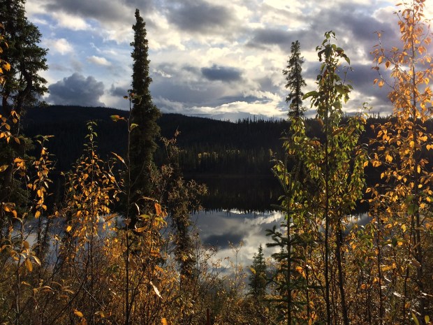
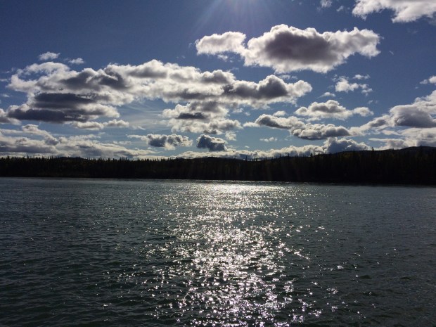
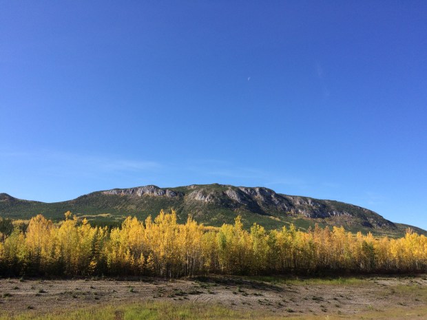
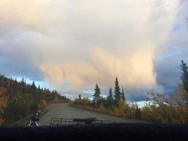
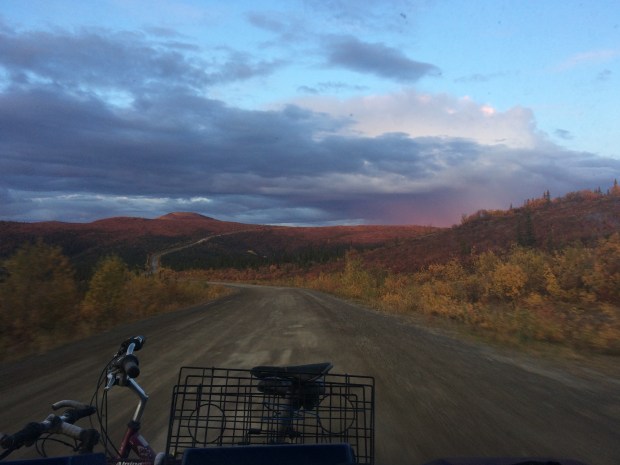
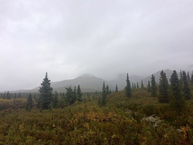
The desert is magical, and the desert is bizarre.
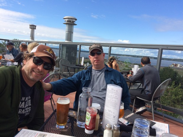
Between the rich January sun, the vivid colors blooming in every direction, and the fruit trees weighted down by citrus, we were feeling energized and enjoying the magical aspects of the region as we walked around Palm Desert. And though we were in no hurry to leave, we did have a lot of jobs to get done while we were in a bigger city to complete our pre-Baja checklist.

The more mundane jobs included getting my contacts prescription filled, shopping for supplies, doing laundry, cleaning sand out of all the corners of the Turtle, picking up our General Delivery mail at the post office, and trying out the Amazon Locker service. Ok, actually that part was pretty exciting. When you order your item, you get a code mailed to you to have scanned at the locker, and when you scan it, a drawer pops open with your package inside! We liked it.


The funny thing is that even those tasks seemed exciting while in the desert, since we were running around in the sunshine wearing flip flops and picking oranges off the trees as we walked around town. It was truly a memorable few days of errands, woven in with the fun things we got to experience in Palm Springs and Palm Desert.

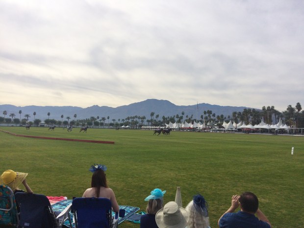
We went to a polo match and sat in our chairs on the grass and cheered arbitrarily for various teams. Not only was it exciting to see the athleticism of both horses and riders as well as all the ladies’ fancy hats, but we also now know the word chukker. So it was a big day.
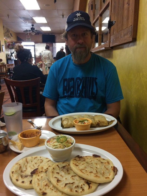
We had the best pupusas ever at Fernanda’s Restaurant, and even went back before leaving town to get more to go, and now that I write this I’m feeling very wistful just thinking of them. Deliciously light and savory, the cabbage slaw on top perfectly zesty, at first bite I knew they were the best I’ve ever had. (Uncles Kevin and Bob, if you are in Palm Desert, you must go try them and weigh in.)
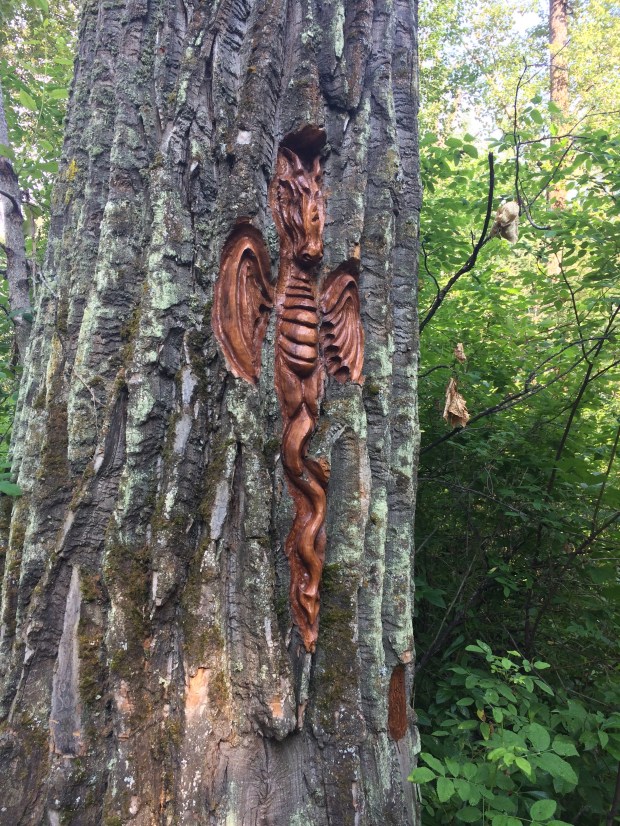
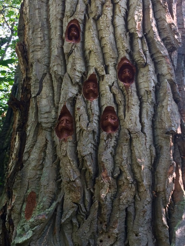
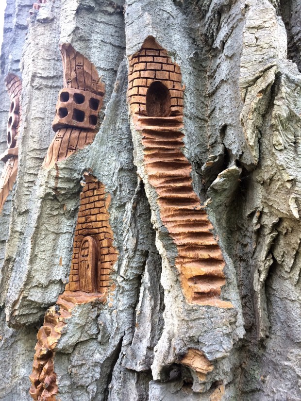
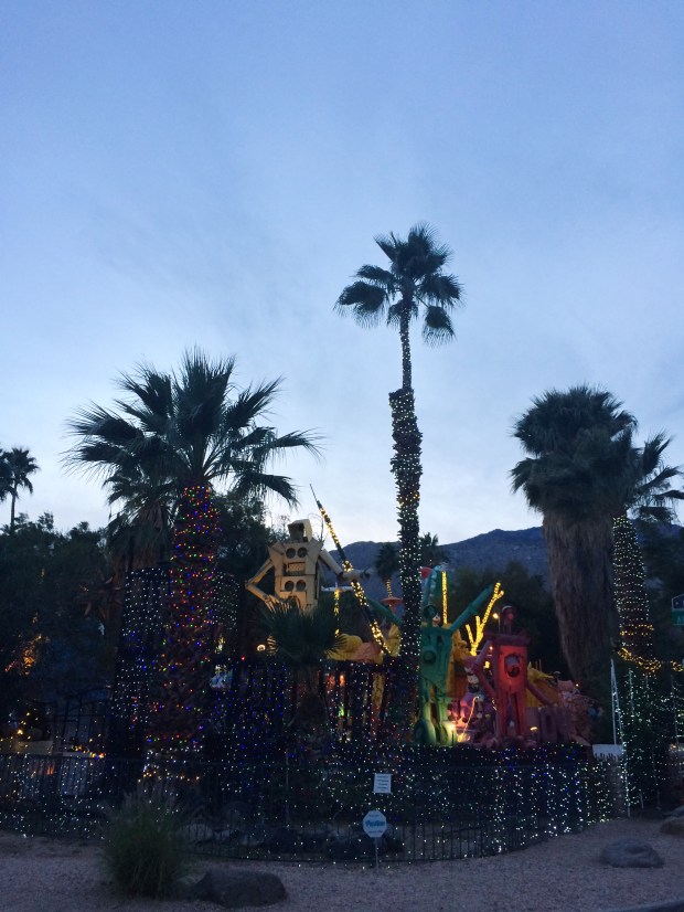
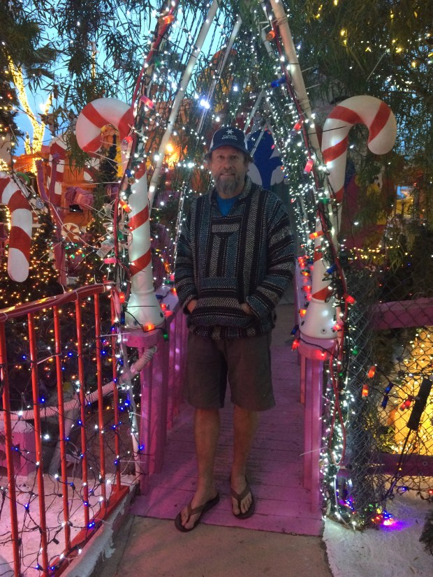
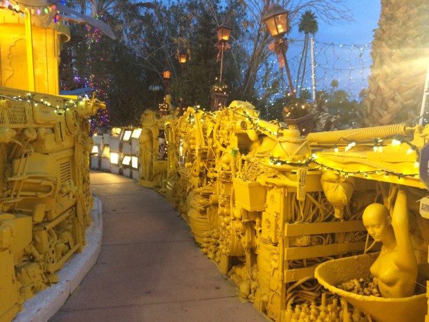
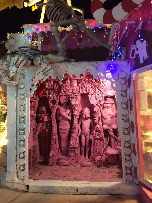
On Jen and Ken’s recommendation, we also went to see Robolights. It’s an indescribable art installation in a local man’s back yard that is open during the holidays and that we just happened to catch while it was still going on. The artist has taken reclaimed materials and created sculptures and vignettes with toilets, telephones, mannequins, gas masks, microwaves and more along paths traversing his property. It’s simultaneously eerie, whimsical, disquieting, and beautiful. (If that makes no sense, then please refer to the part above where I said it’s indescribable and give me a few points for at least trying.)


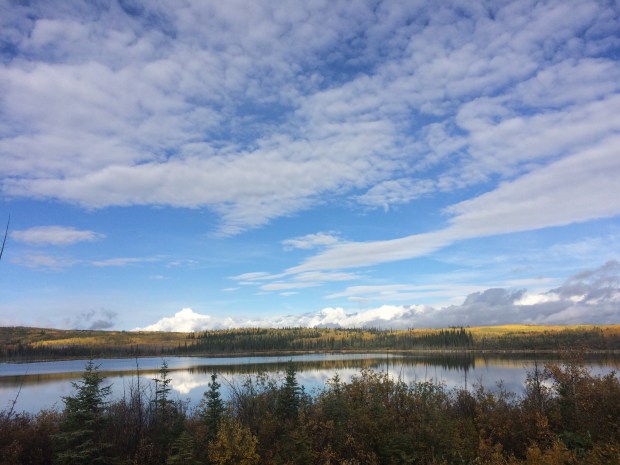
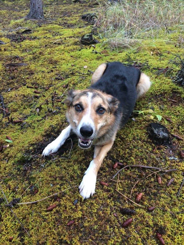
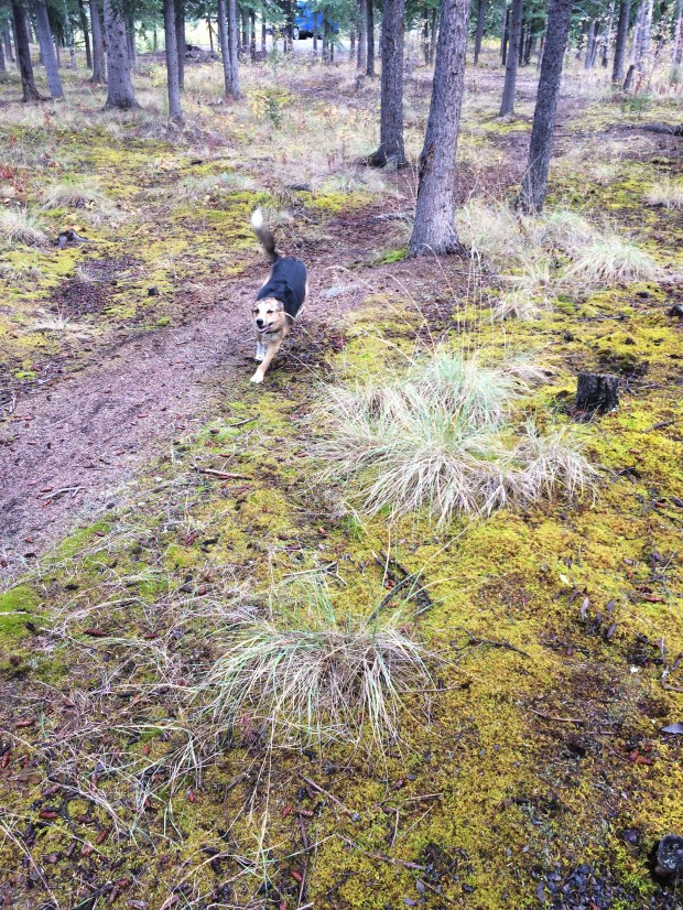
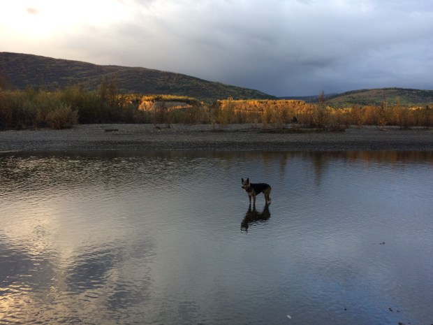
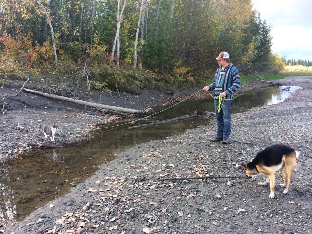
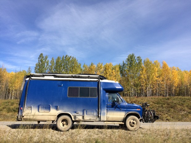
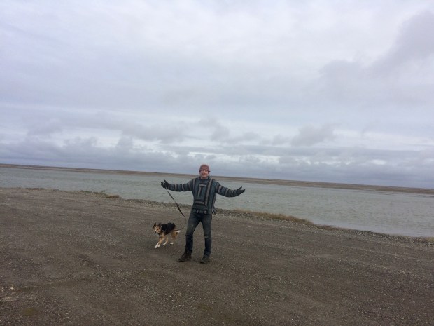
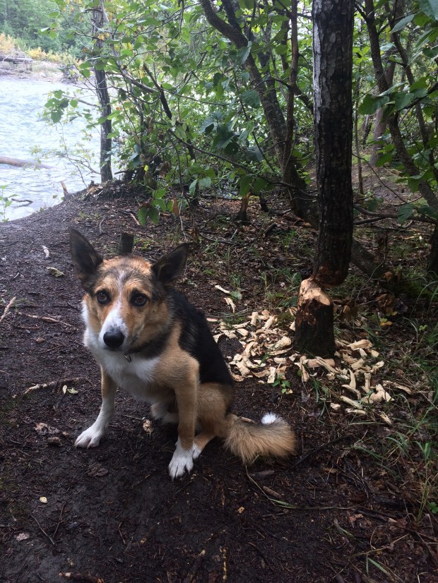
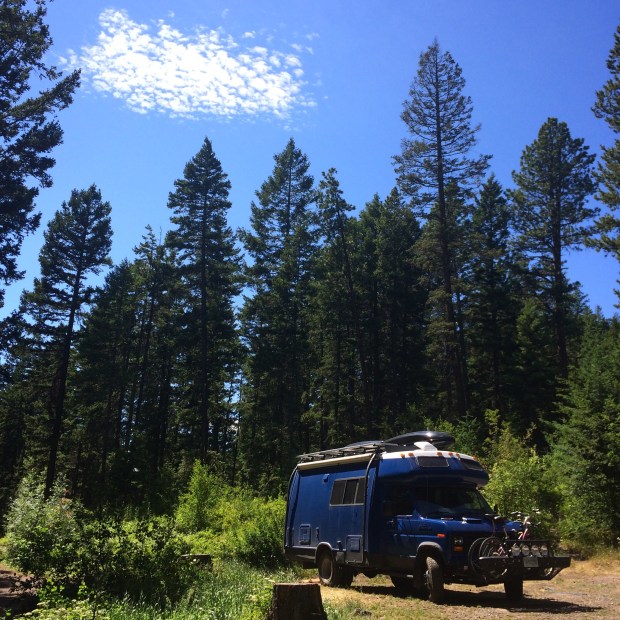
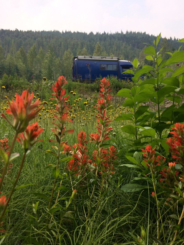
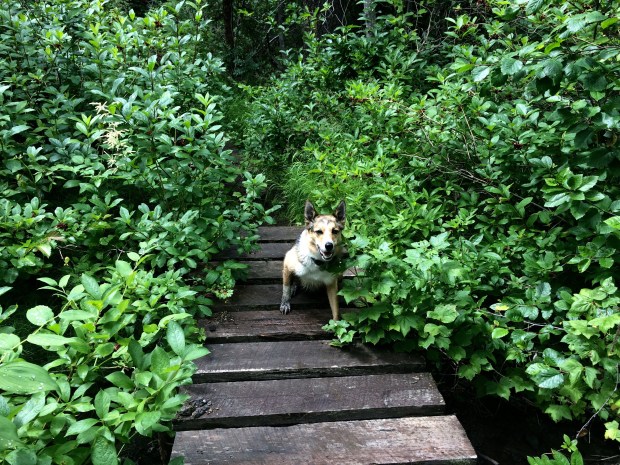
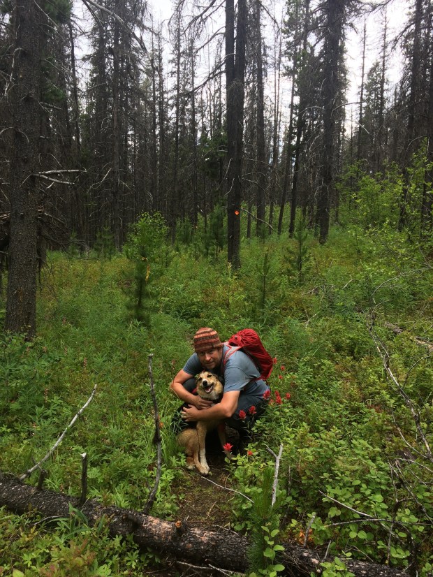
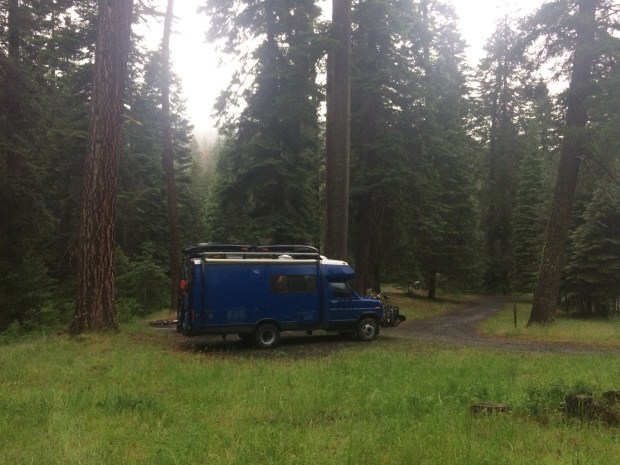
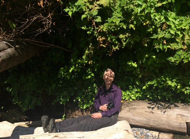
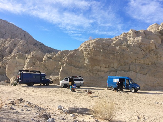
After a few days combining errands and fun, we returned to our convenient and comfortable dispersed camping spot south of Joshua Tree National Park. That spot served us well during our entire southern California stay, especially where the animals were concerned. They had enough room there to play safely, so they could experience some freedom before we took them to unfamiliar territory where they’d be leashed much more often.


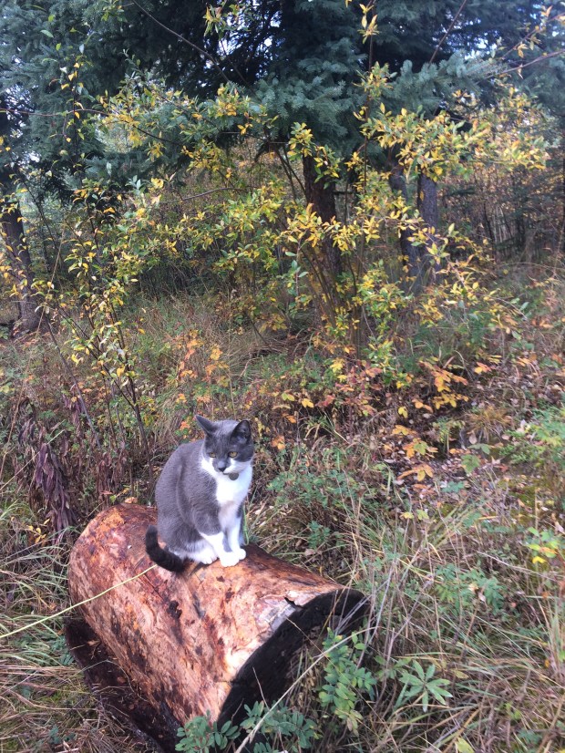
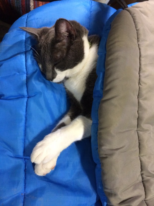
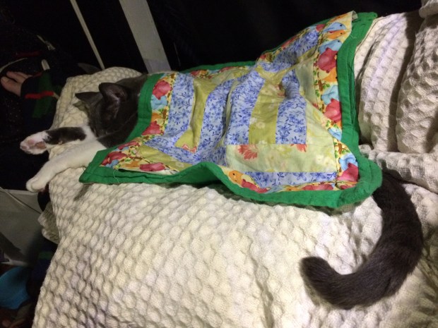
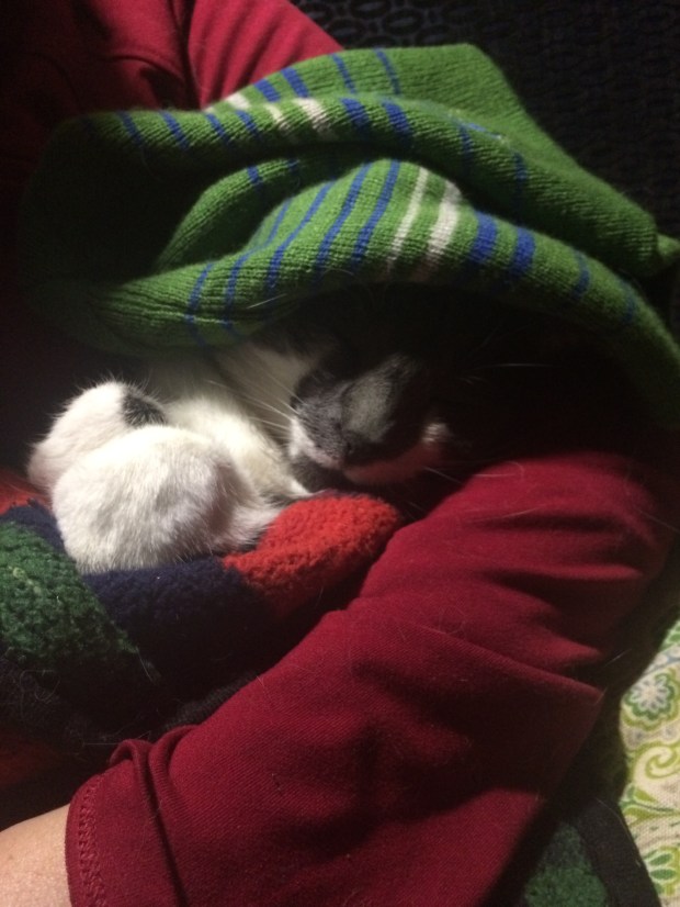
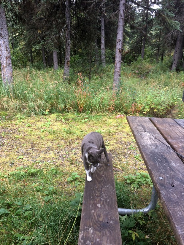
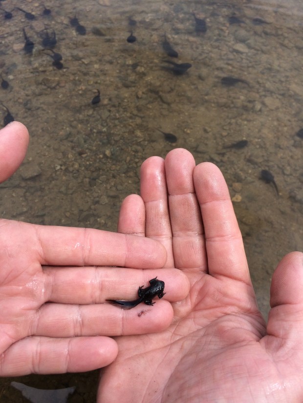
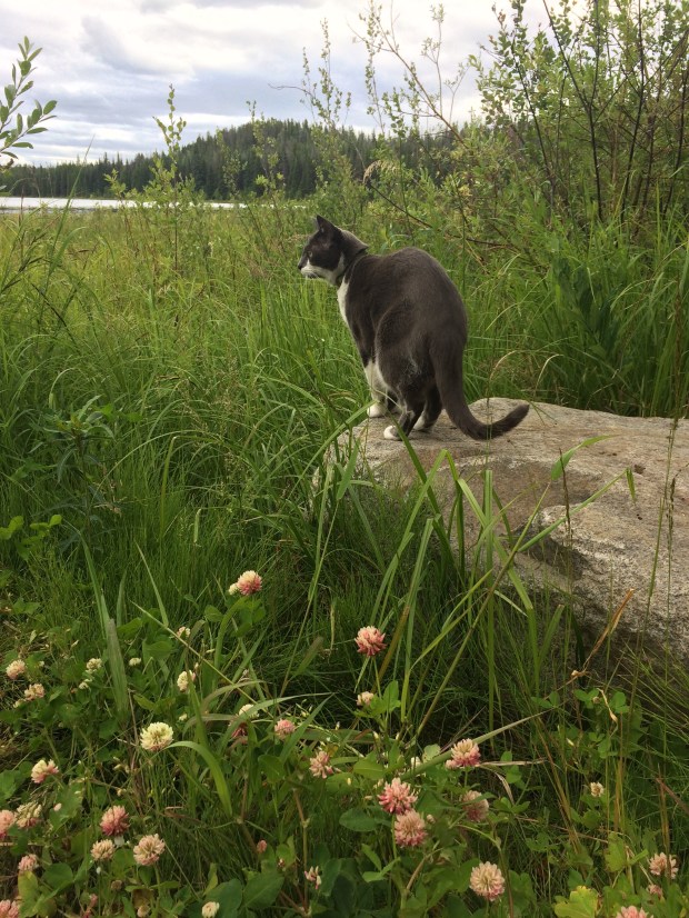
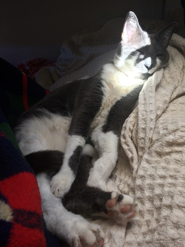
At one point I went up to the attic to take down some summer clothes and saw these darling little paw prints covering the entire roof.
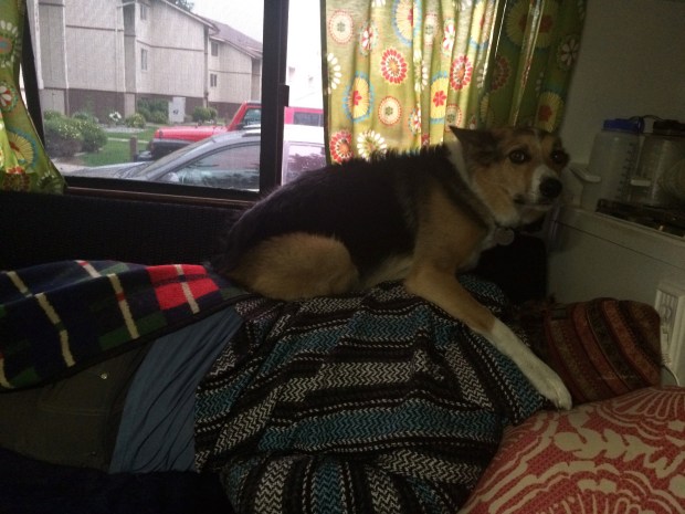
Often when we’re sitting inside we can hear her stomping around on the roof and we pretend to complain about our loud upstairs neighbor. And usually if the vent is open, she shoves her face against the screen and meows at us, and we say we can’t take it anymore; we’re moving.
During our three-day BLM stay, two very awesome things happened.
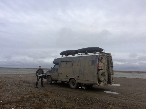
The first was that we had a chillier day, so we stayed in reading books and when I made chili for dinner I decided to try out stovetop cornbread as well, which turned out great! Our oven is still currently being used for storage until we decide to sacrifice the extra space and get it fixed. So it’s always fun to figure out ways to prepare oven-y food on the stovetop.

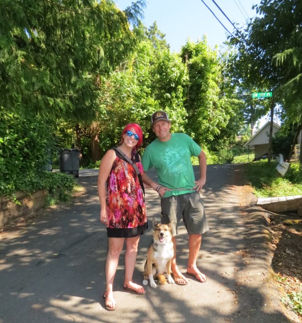
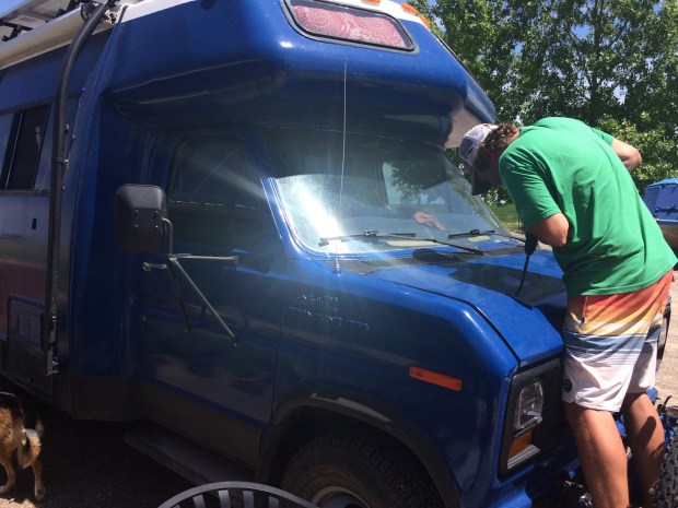
The second awesome thing (and actually awesome, not like the last cornbread thing) happened as we prepared to leave on the third day. As we packed up, a guy in a white Toyota 4WD van pulled up to introduce himself. His name was Alex and we’ve been following each other on Instagram ever since he spotted the Turtle up in Yukon last summer, found our Blue Turtle Crossing account and messaged us! He’d just happened to be driving around checking out vans in the BLM spot while he waited for some friends to finish up their tour of Joshua Tree and he saw the Turtle. Small world, right?
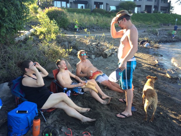
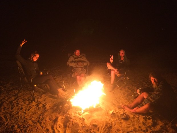
He invited us to join them all at their campsite in Painted Canyon that evening, which we happily did. The wonderful spot took second seat next to how much we just loved meeting Alex, Andres and Desiree and getting to know them as we sat around the campfire that evening. It’s so exciting when overlanders come together to share vandwelling stories and travel experiences, since it’s such a unique lifestyle that being able to relate to new friends with a common mindset is refreshing. And they were all just a treat to meet.
You can follow them on Instagram here:
They were all headed to Slab City, which is where we were headed as well, so we made plans to join them there the next day. You might recall that we travel slowly so we needed an extra day.
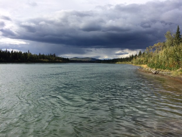
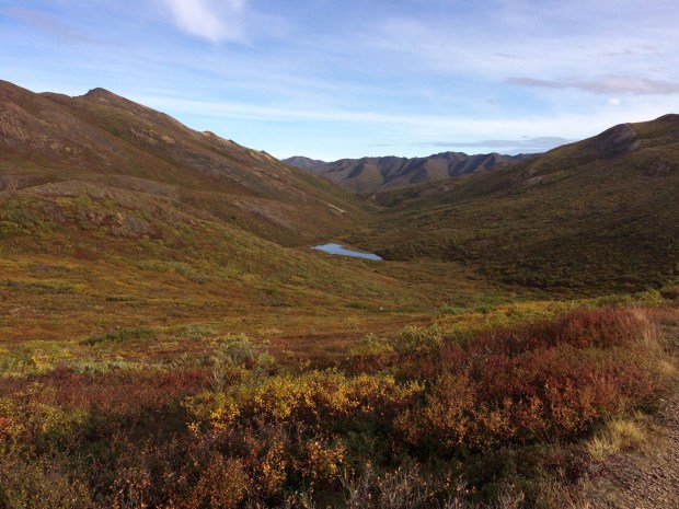
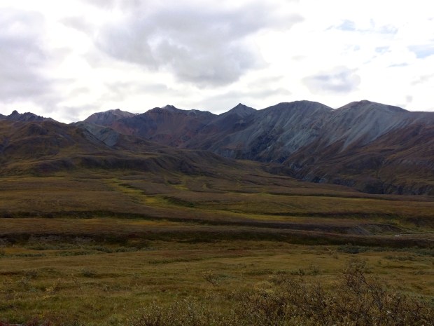
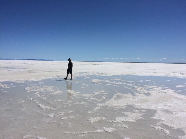
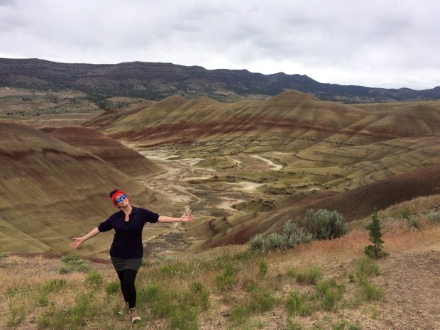
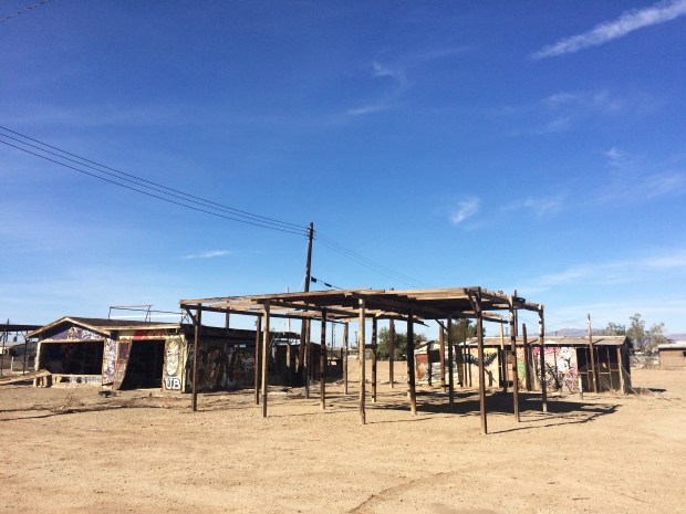
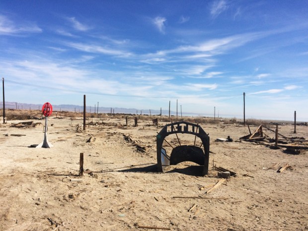
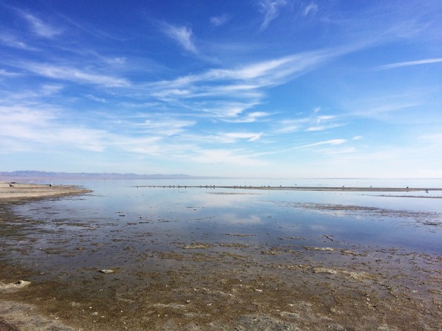
On our way, the bizarre parts of the desert began to reveal themselves. First we stopped at Bombay Beach on the edge of the Salton Sea, an enormous inland surface water body that is only about 100 years old and lies 228’ below sea level. Bombay Beach used to be a thriving resort town, but is now almost completely abandoned and looks like a post-apocalyptic movie set.

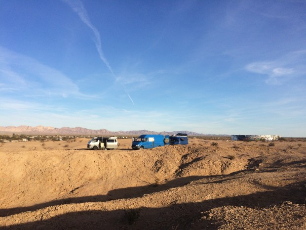
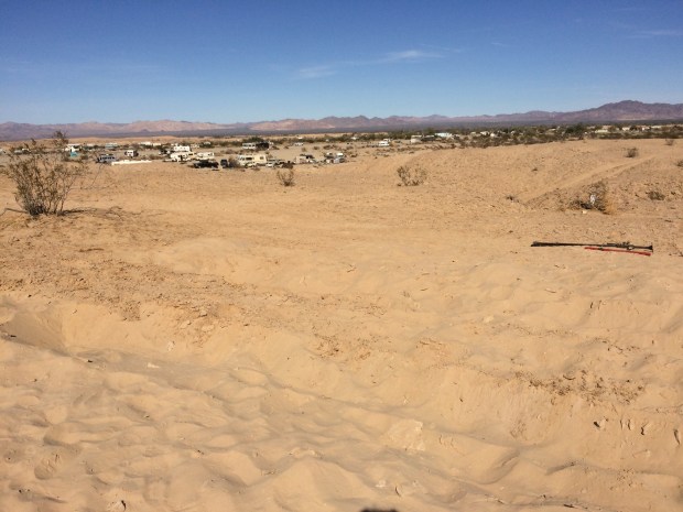
Equally as strange and fascinating was our final destination for the day, Slab City. This “town” sits on an abandoned military base and is comprised of vans and RV’s scattered in semi-organized clusters of visitors and full time residents, some of whom live there even through the 125-degree summers. Others stay there for just days or months at a time, and all travelers are welcome. Many of the residents have built fences, patios and artwork around their rigs made from reclaimed materials, and the town even has a music venue and café. It’s like nothing I’ve ever seen before.


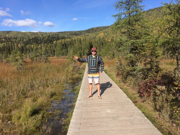
We found our friends parked up above the town, and made our way through and around the streets to meet them up on the bluff just a short walk to Salvation Mountain.
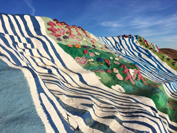
Oh, did you think the bizarre part was over? It is not. Salvation Mountain is a total trip. It’s a 50-foot-high mountain made of adobe and covered in layers of paint that a man named Leonard Knight created to share his deeply felt message of God’s love to the world. It’s bright and beautiful and feels like walking on a cake in a children’s book. We’d seen pictures before we got there, and honestly the experience of walking the “yellow brick road” path of the mountain was much more impactful than I’d imagined it would be.


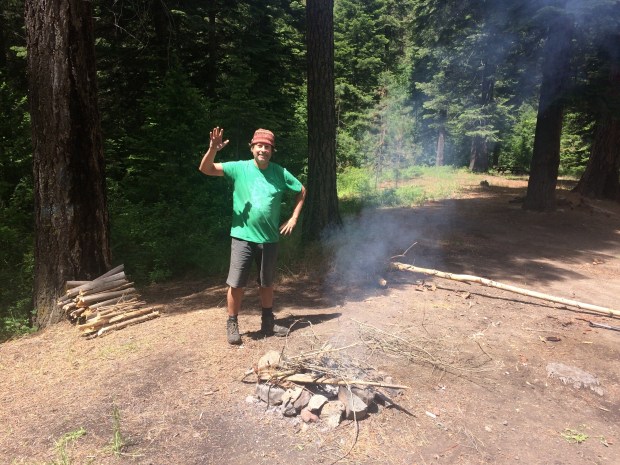
We got back to our little neighborhood and hung out for a bit before collecting wood for our evening fire. It was another great evening with the caravaners!


They planned to take off for Baja quite early the next morning, so we said our goodbyes that night. The next morning I saw a photo Alex had posted about them getting stuck in the sugar sand as they tried to depart, and I felt sorry that we hadn’t heard them so we could have come out to help. But they’d made it out, so it all worked out.
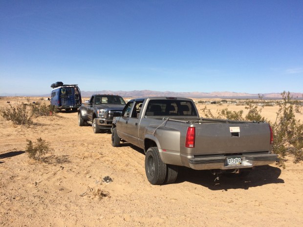
When we tried to leave later that morning, we weren’t so lucky.
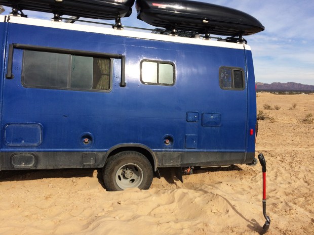
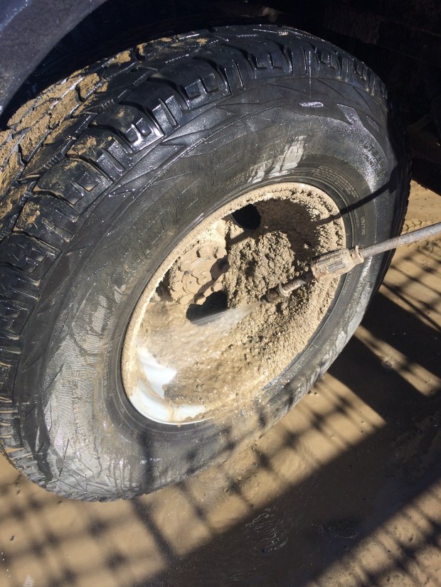
The flour-soft sand swallowed our tires and no amount of digging and laying rocks under the tires would get that Turtle out. We worked for hours and hours, but every attempt ended in us being settled deeper in an ever-growing depression in the sand. A few people came and attempted to help free us, but to no avail. One guy tried to tow us out and got himself stuck in the sugar sand too, so once we’d dug him out he left us to our own devices. Unfortunately we didn’t have many. We weigh nearly 11,000 pounds and that sand really was like powdered sugar and gave us no traction whatsoever.

I called the nearest tow company to price the job, just so we’d know we have an option if nothing else worked. He quoted me $600 so we crossed that option off the list and decided that even if it meant digging the bluff down one shovelful at a time until we hit the firm dirt down below, we’d do that. Andy walked down into Slab City to find someone with a truck, and with a promise from one resident that he’d return the following morning we spent one more night in Slab City, wondering if we were destined to become residents as well.
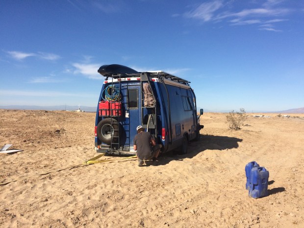
The next day we began with about 100 fewer bruises than we’d have on our arms and legs by the end of the day. The man who’d promised to come help us did indeed bring his 4WD truck up to tow us out, but there was so much sugar sand between us and the hard dirt path that our tow strap wouldn’t reach. Another resident who had come up to see the action loaned us two lengths of chain and a thick rope. A couple riding bikes stopped to help, and between the husband’s hard work ethic and his wife’s cheerful attitude and no-nonsense management style, we were soon ready to give it a try.

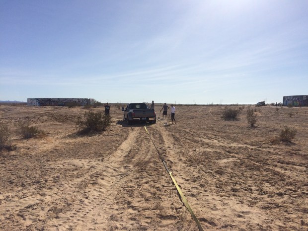
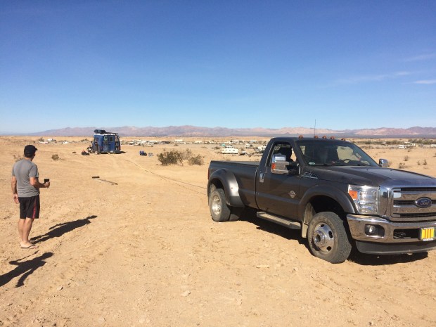
The number of times that it didn’t work should have defeated the group to the point of giving up on us, but they stuck by it, digging and digging alongside us and trying again, until another local brought his truck up to contribute to the effort. One truck pulled the other truck who pulled the long rope which pulled the two lengths of chain which pulled the tow strap pulling the enormous blue Turtle which was being pushed by four of us, and suddenly we were inching our way out of the sand to firm ground.

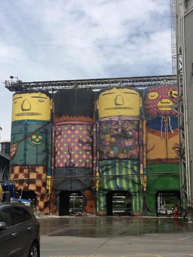
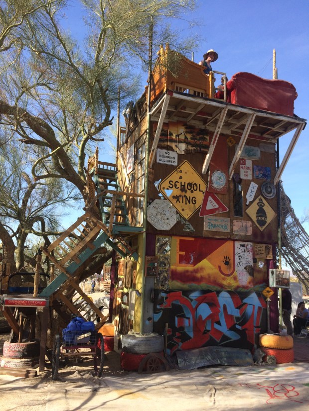
HOORAY! The Turtle was mobile once again. We are so often humbled by the kindness of strangers; we could not have done it without a single one of them. We profusely thanked the group, and after talking for a bit we all departed the sandy bluff. I took some sugar sand with us as a souvenir, and in high spirits we drove to the other side of Slab City to see East Jesus, the art and sculpture garden created by the residents.
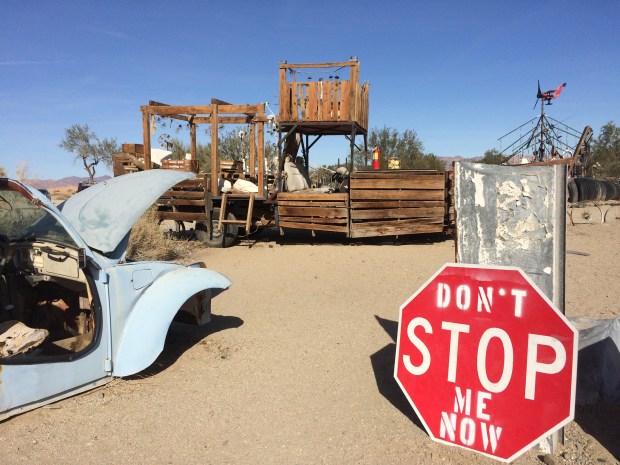

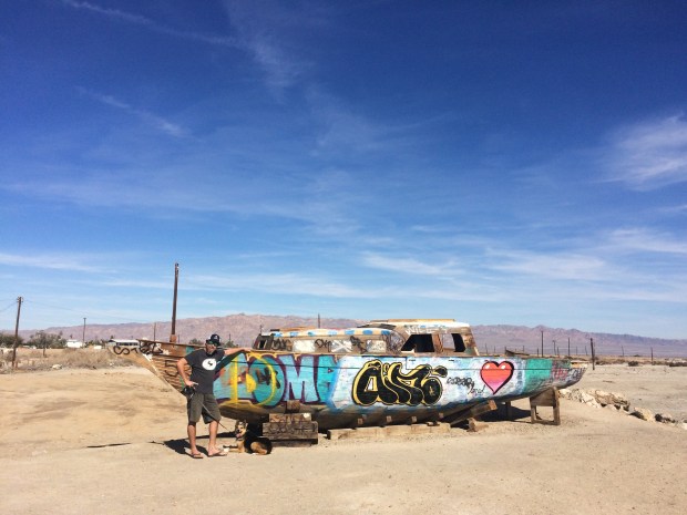
And once again we were back on the road, as if we hadn’t just been in a real pickle and then immediately afterward saw a wall of old TV’s carefully painted in the middle of an art field in the middle of next-to-nowhere.

The desert is magical, and the desert is bizarre.